Panoche Valley Solar Project
Key Features
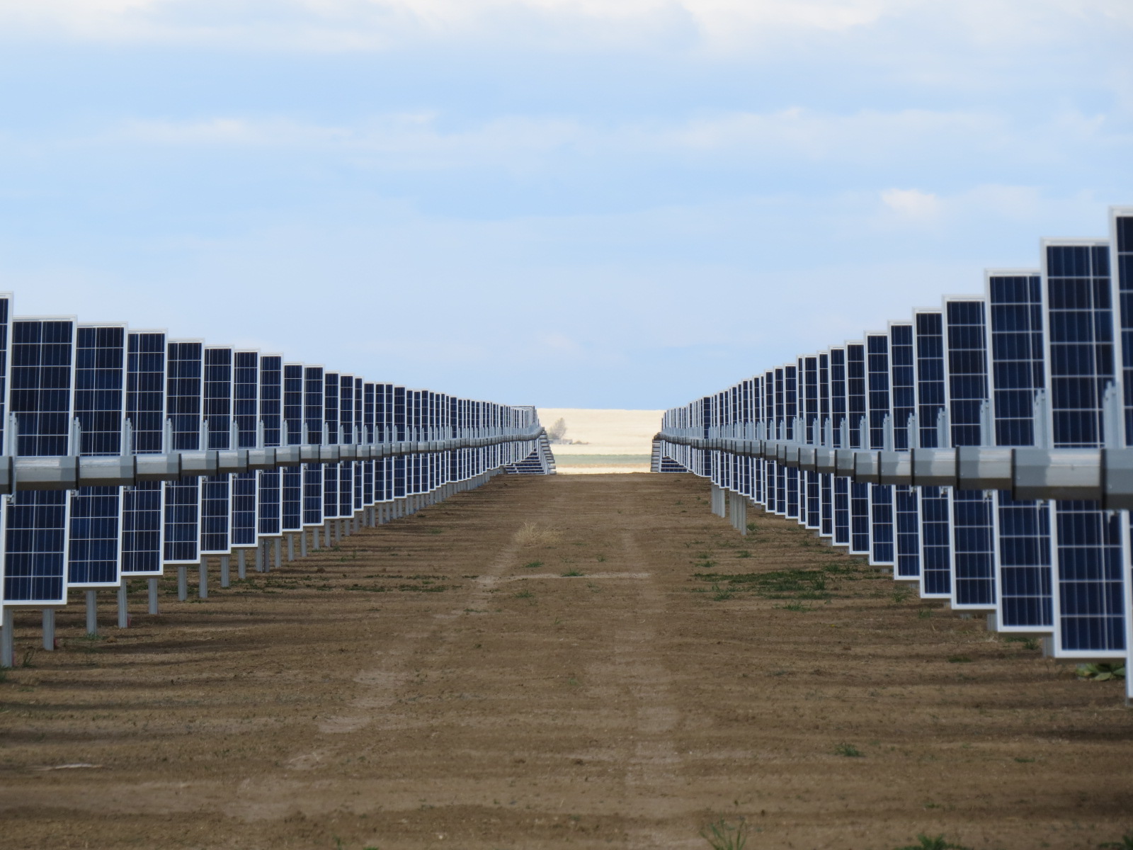
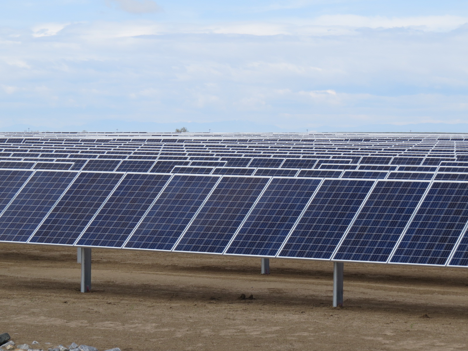
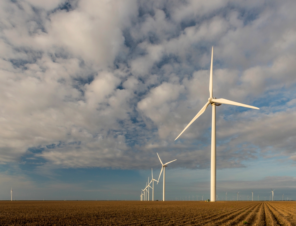
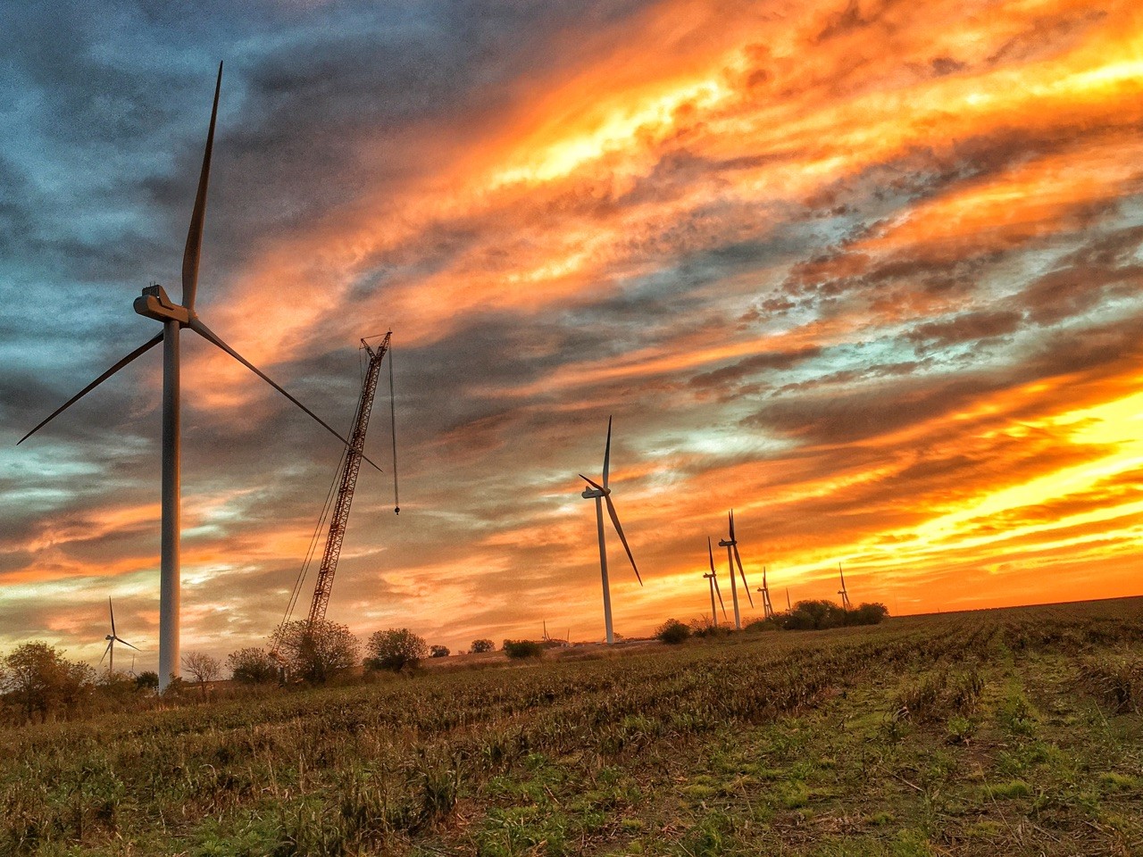
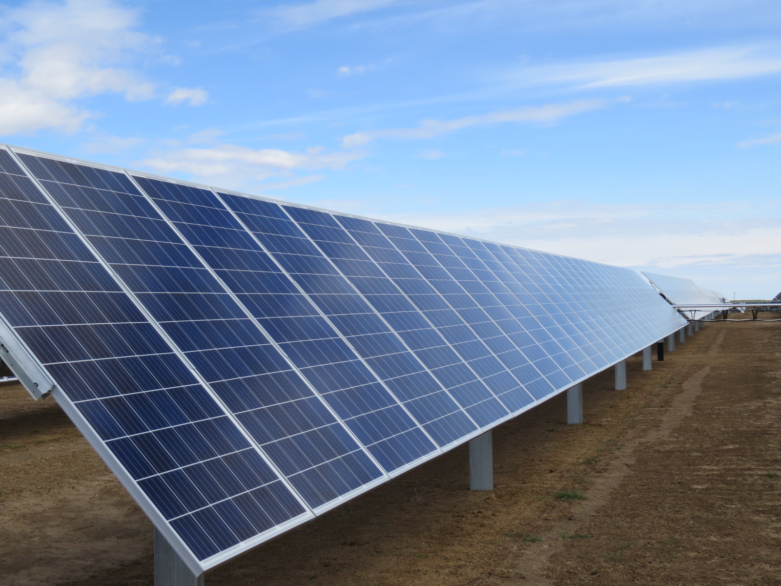
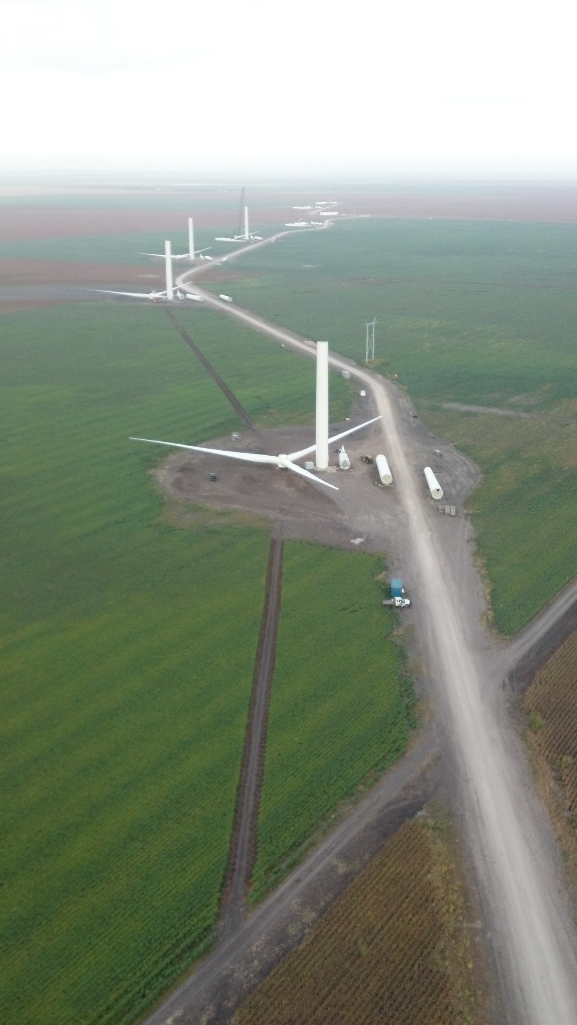
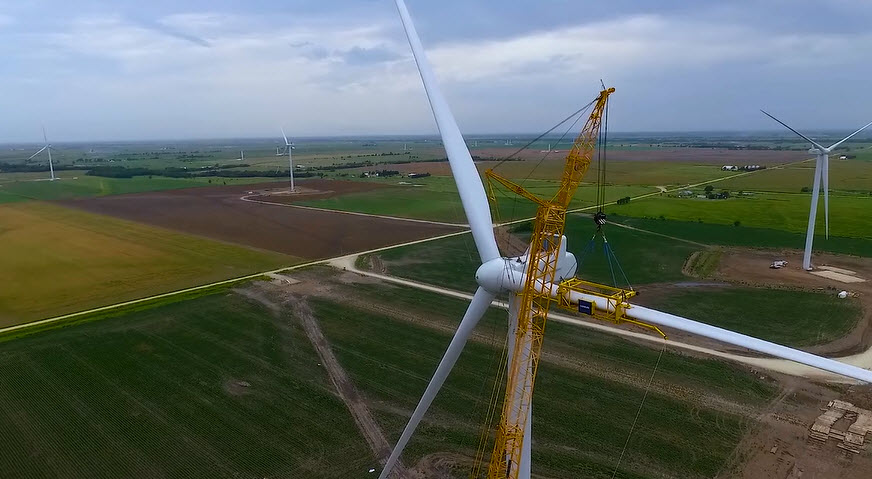
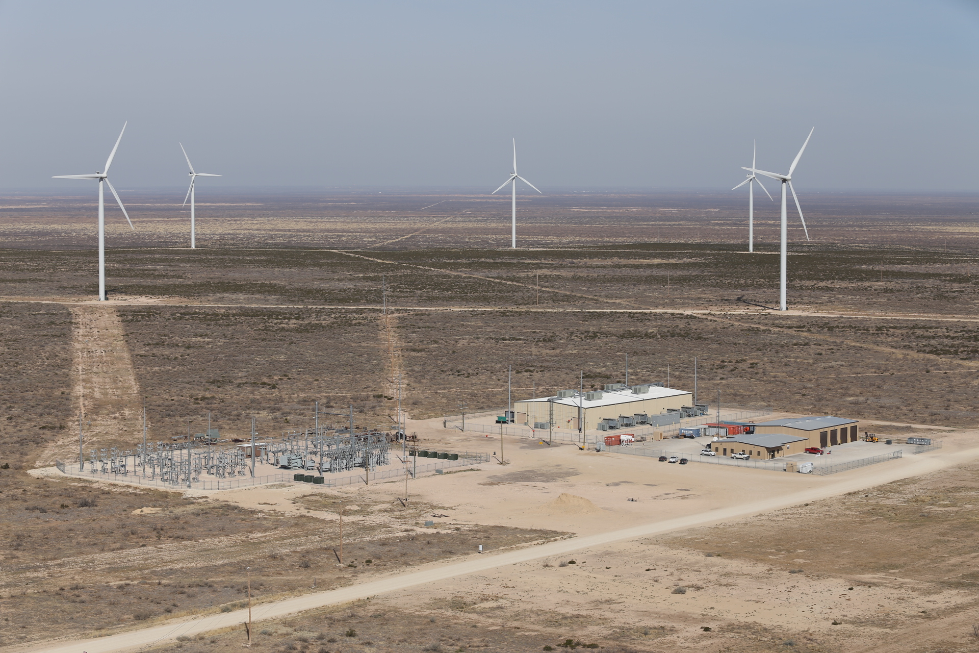
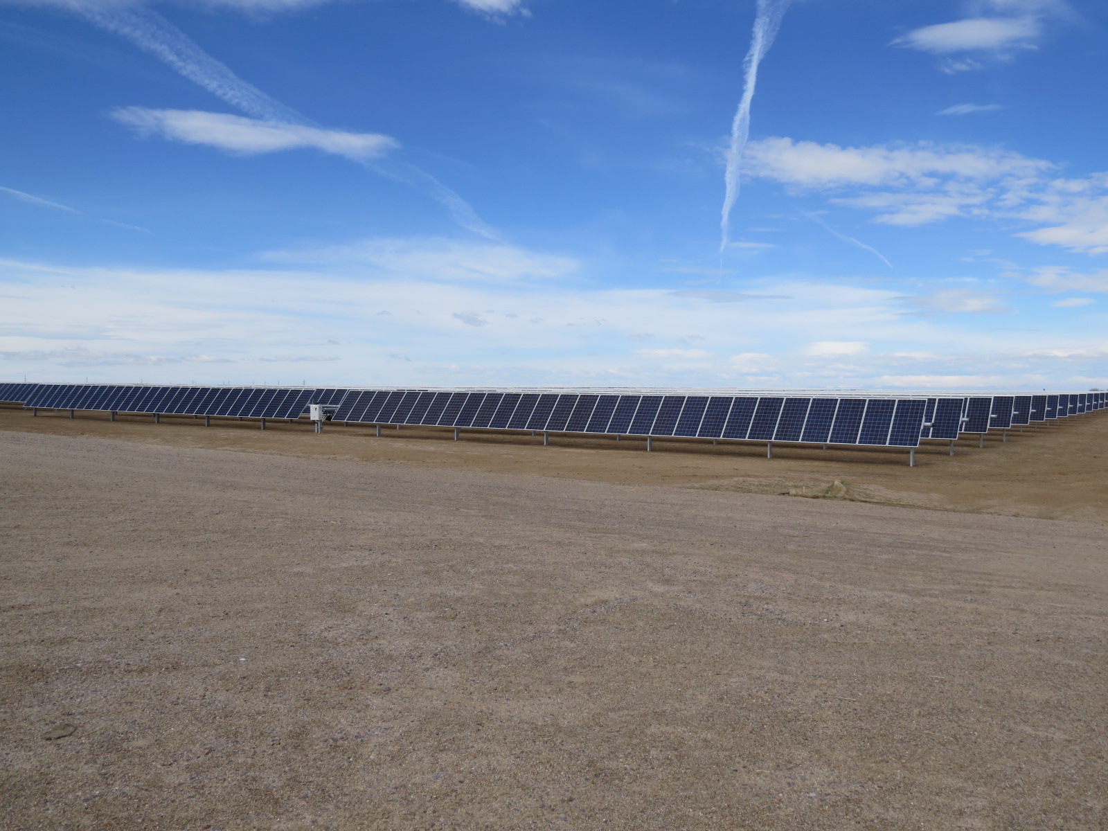
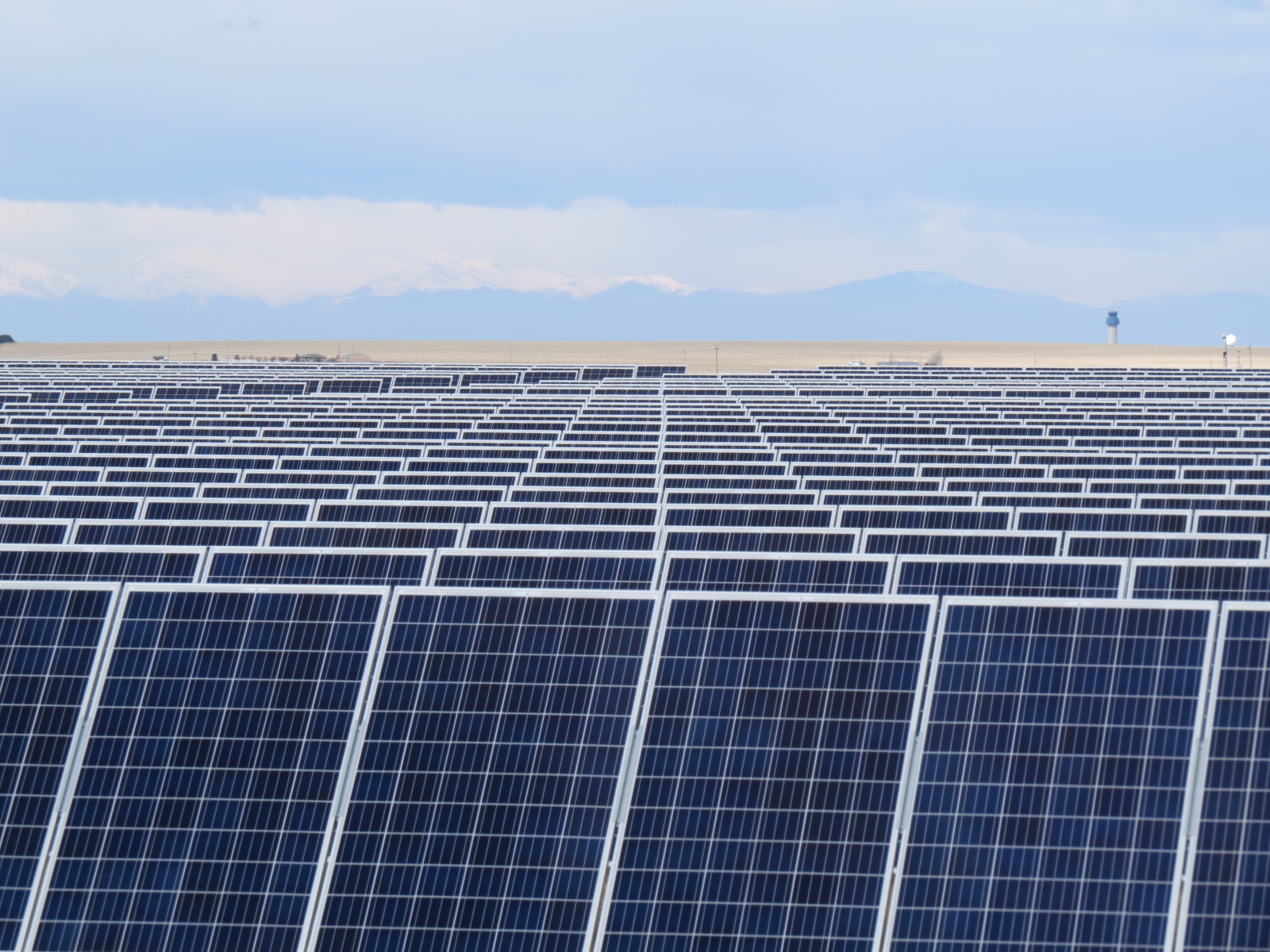
Development of a 240 MW solar facility
Interfacing with federal and state agencies
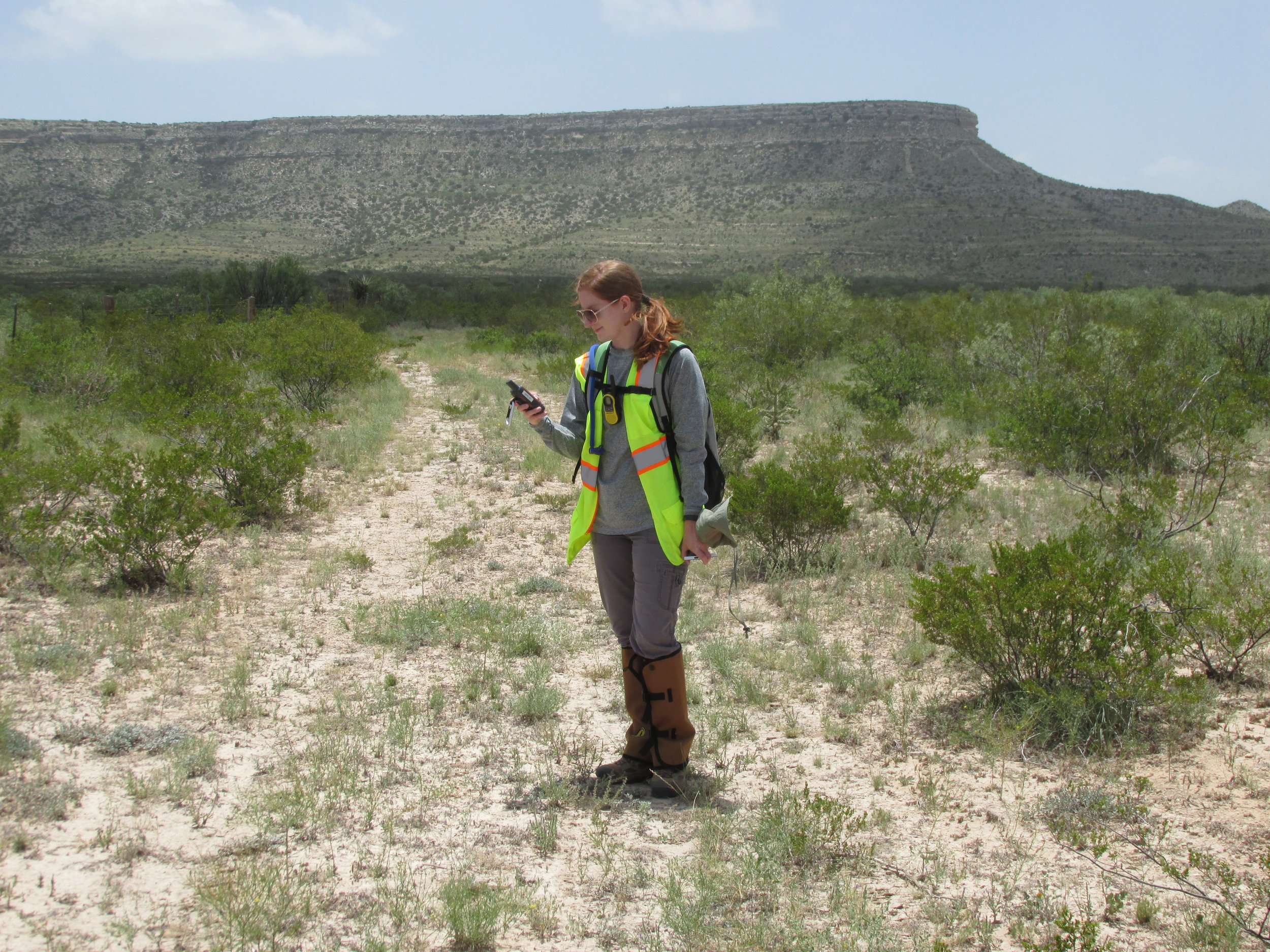
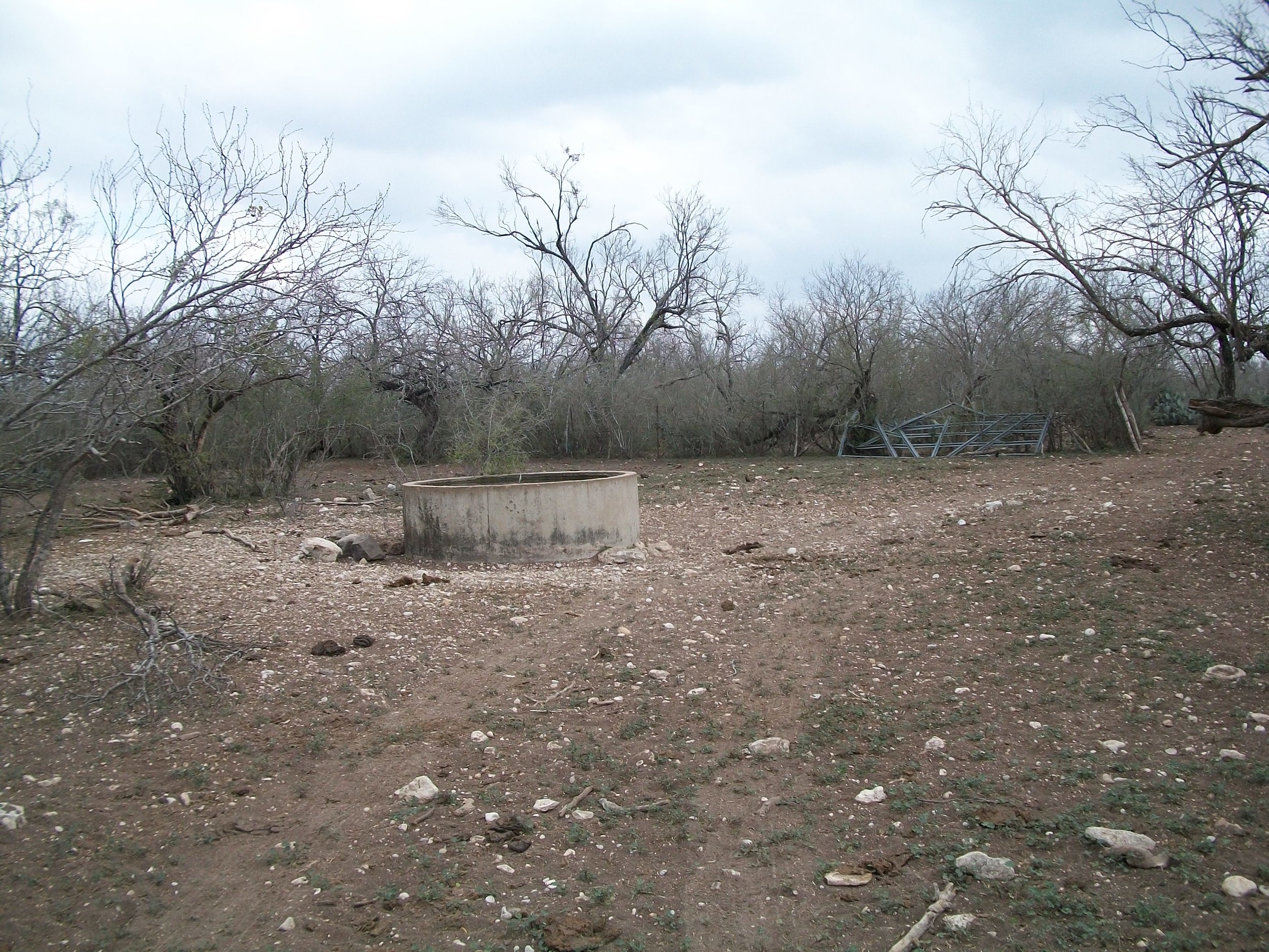
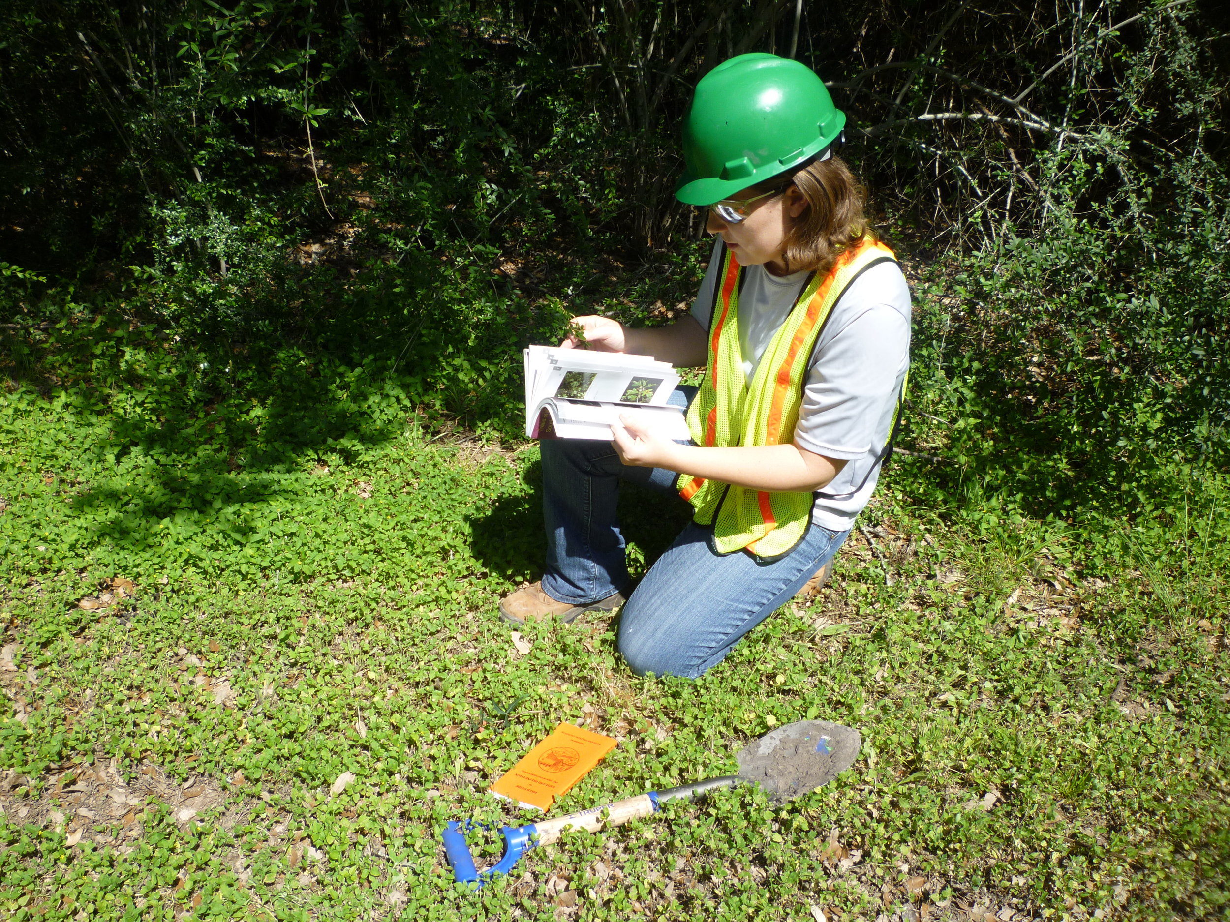
Biological and water resources studies
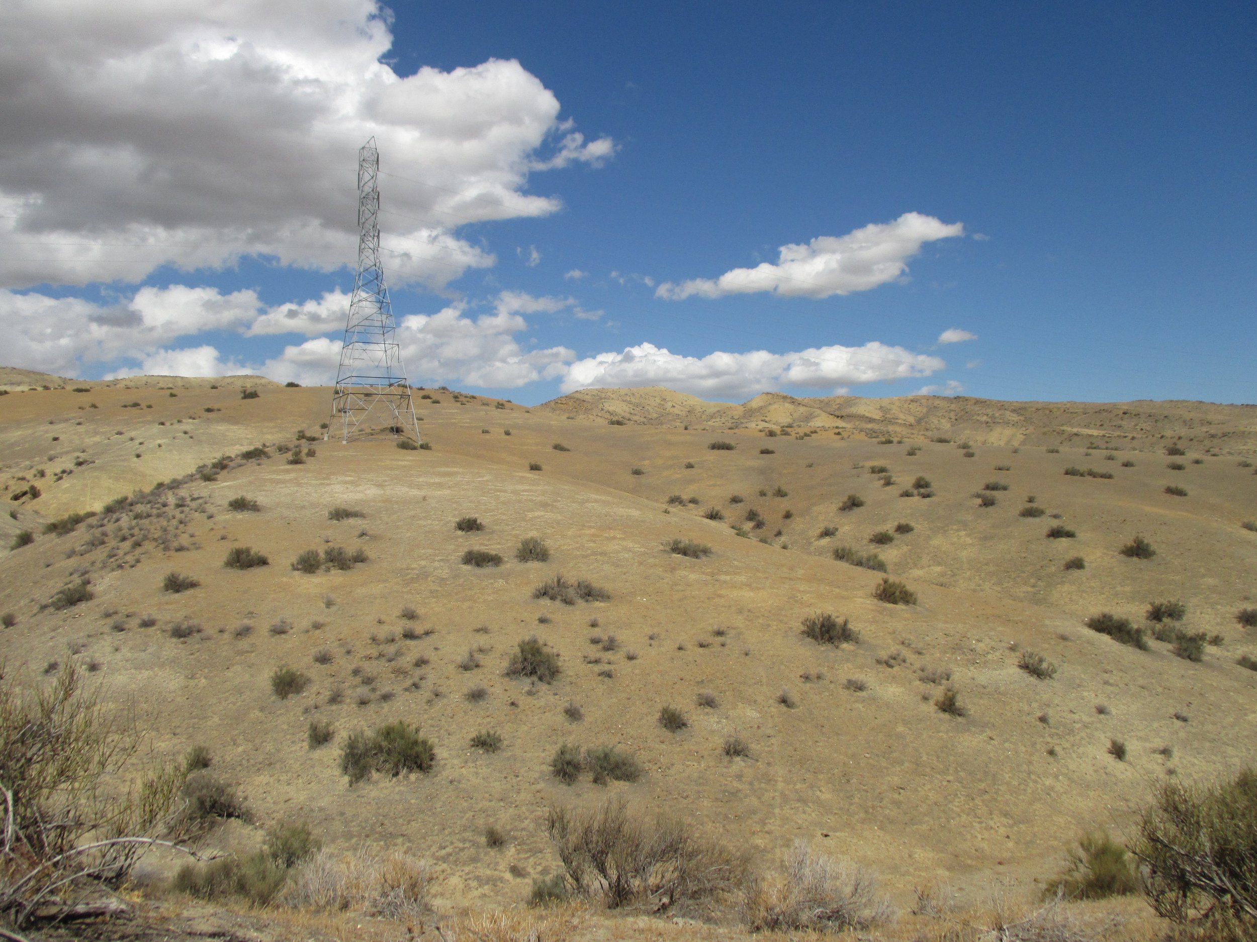

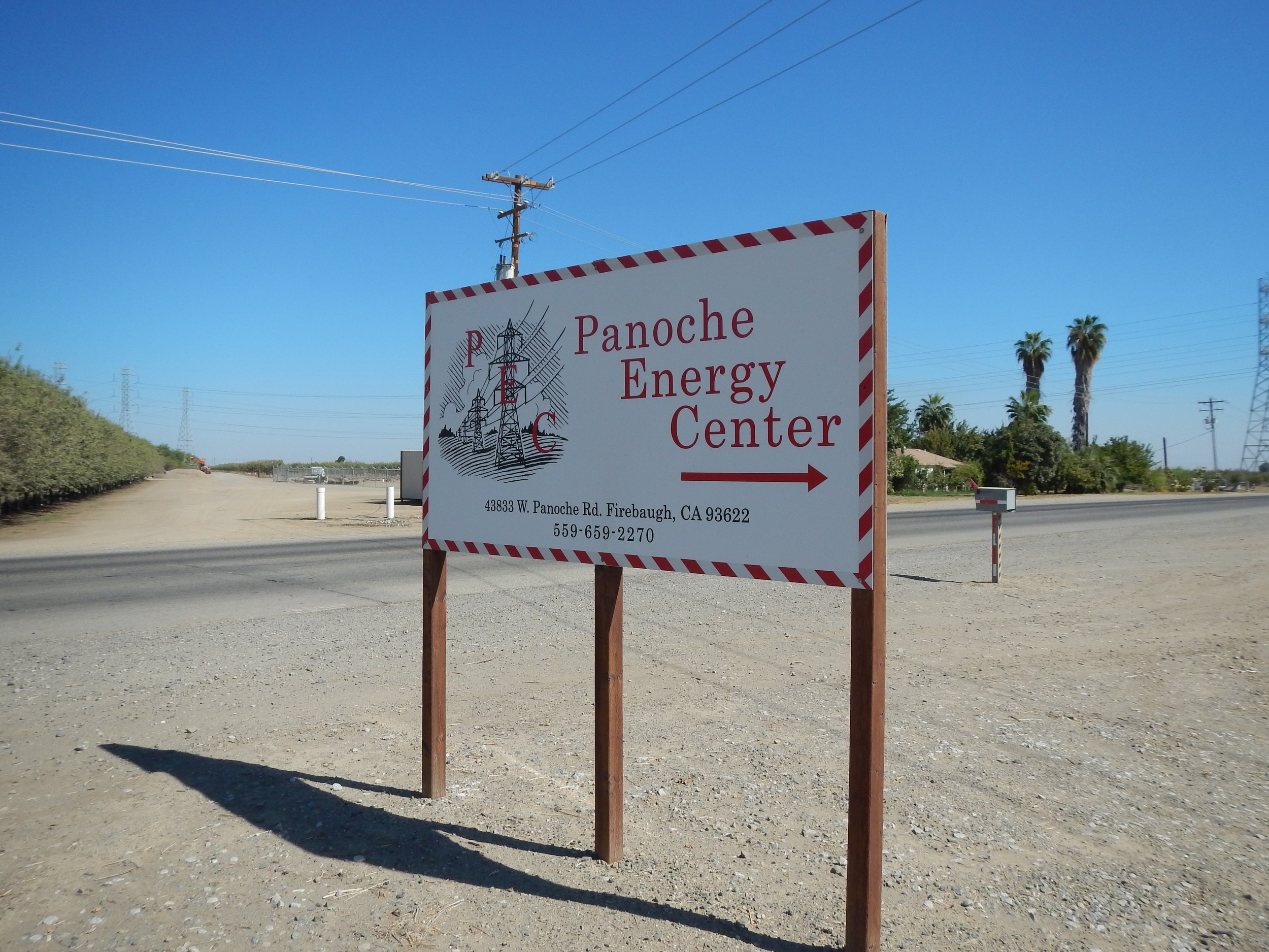
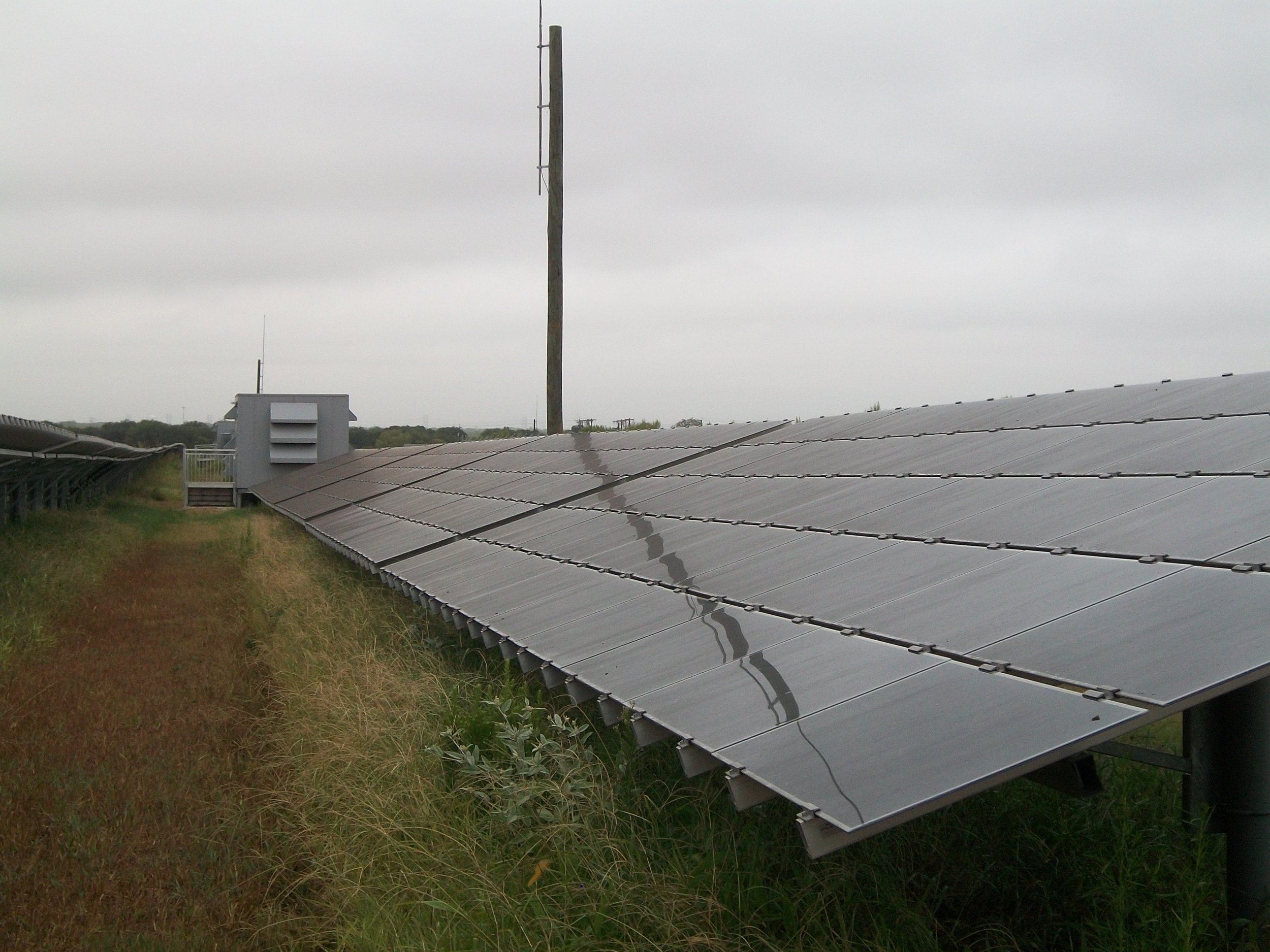
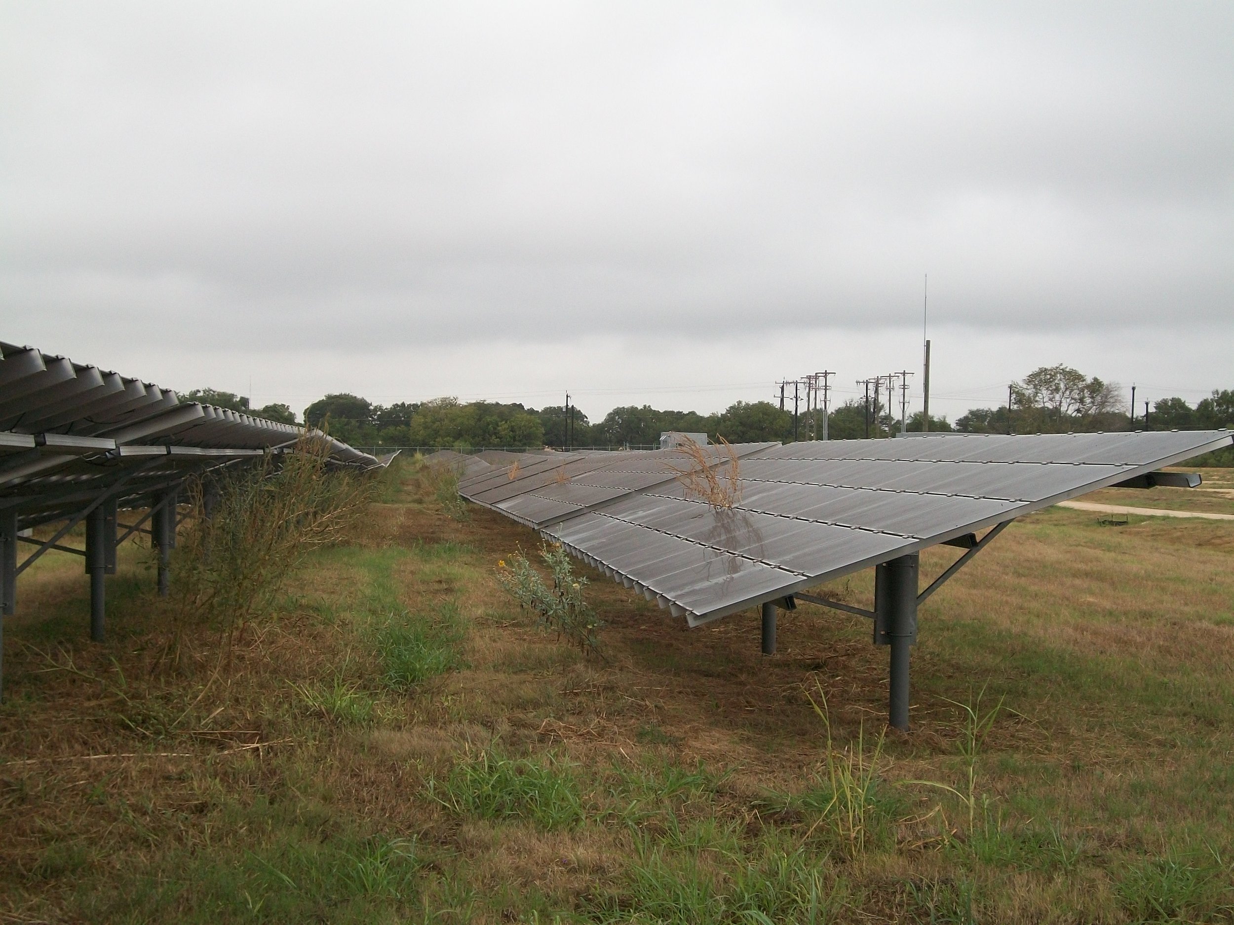
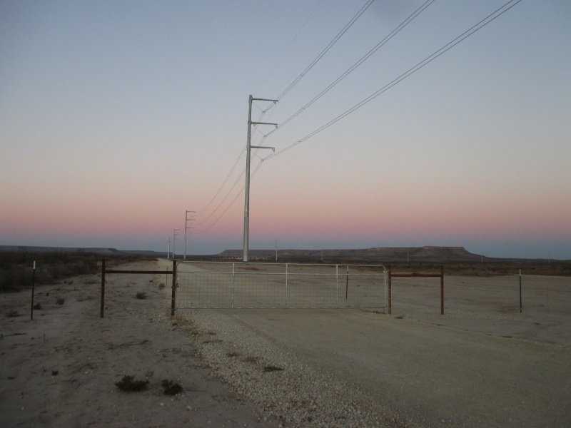
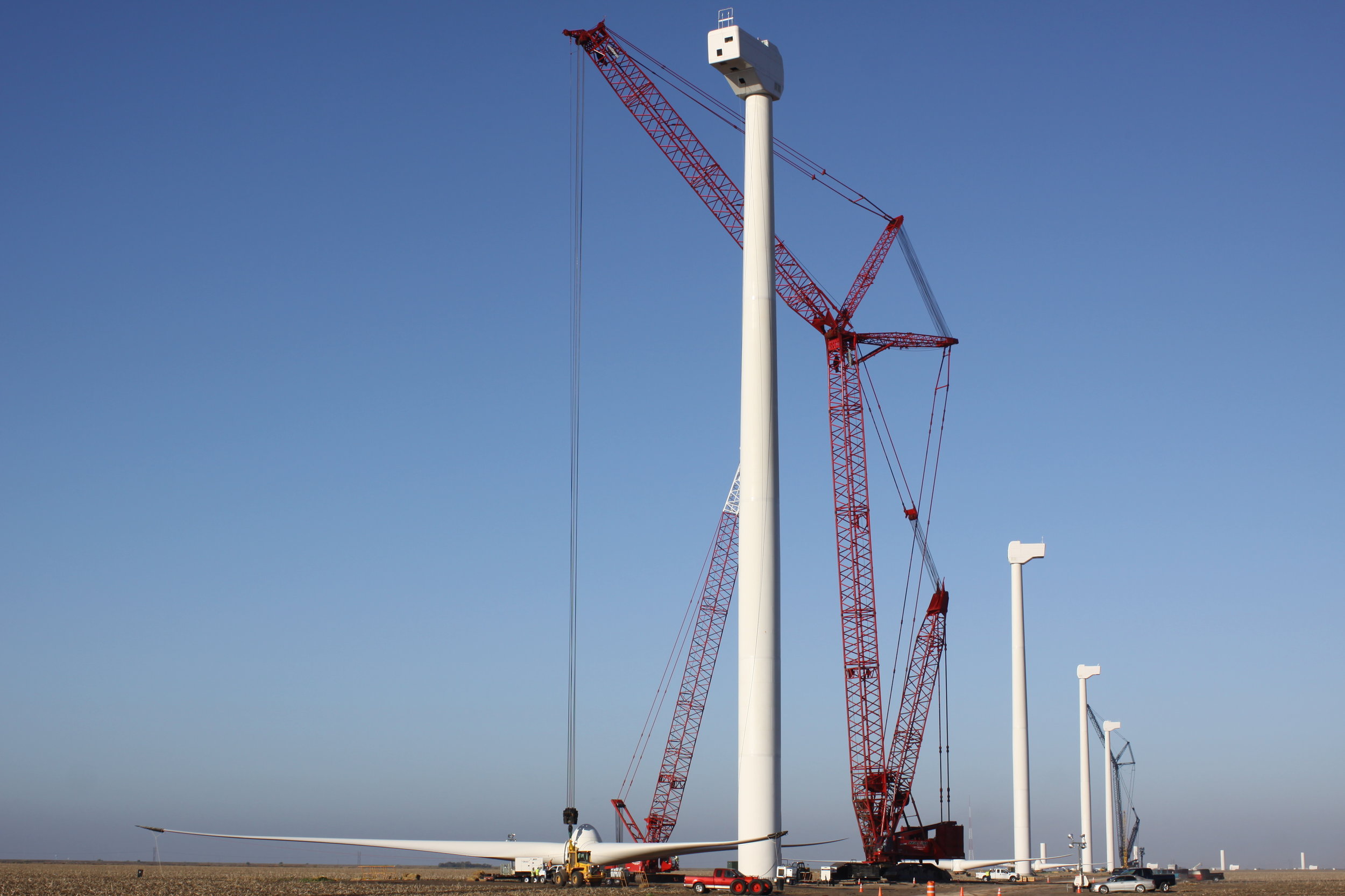
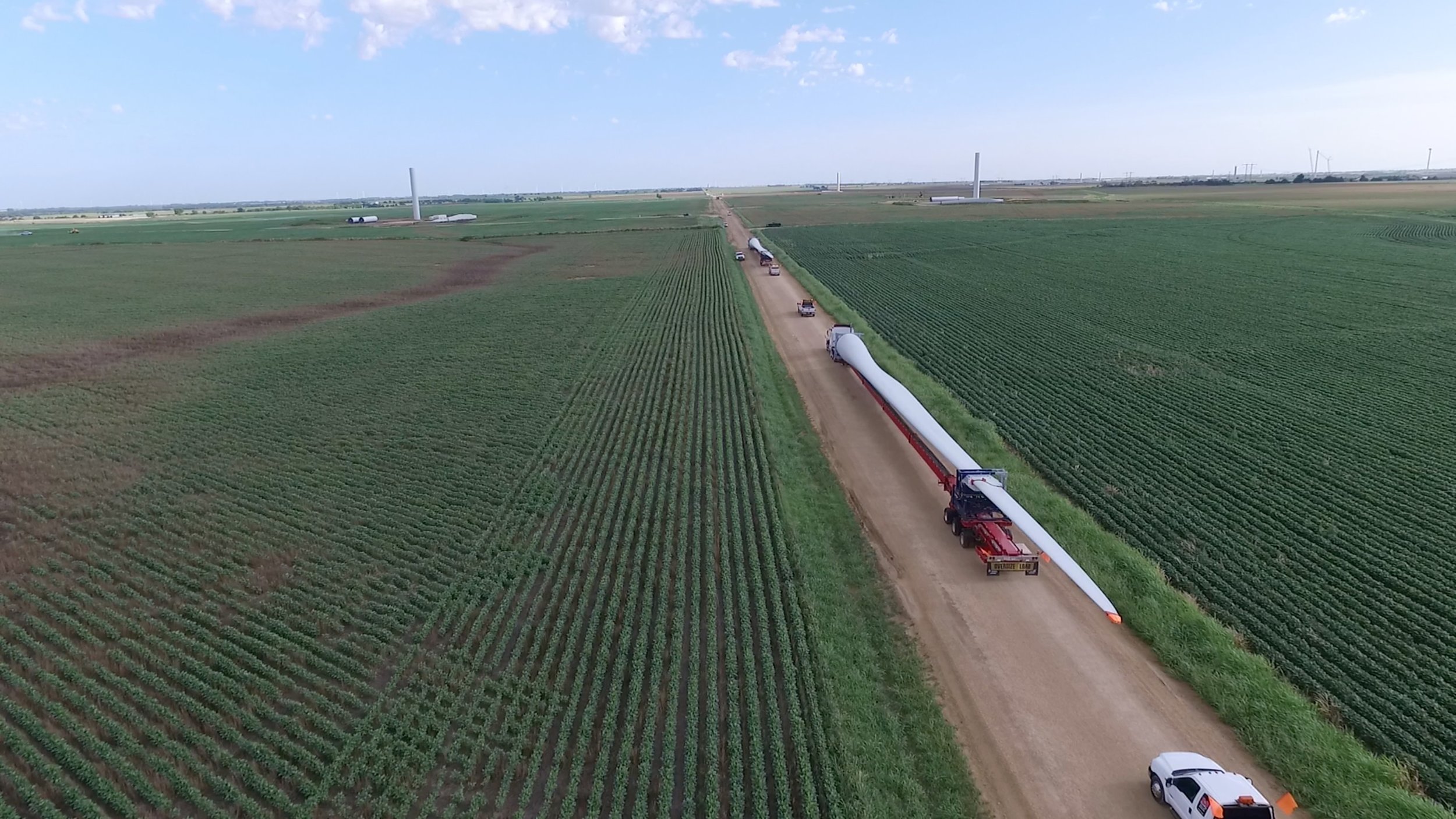
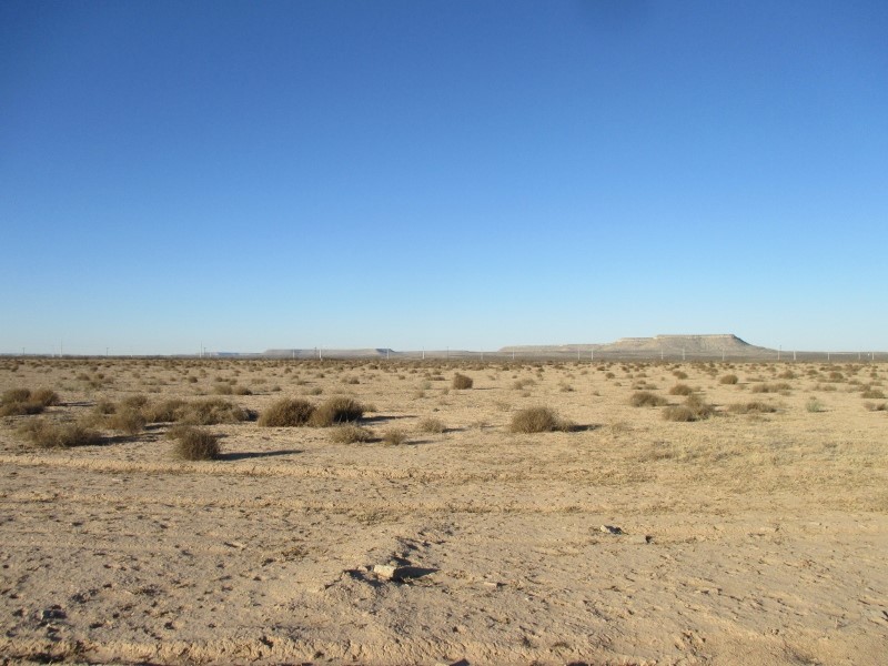
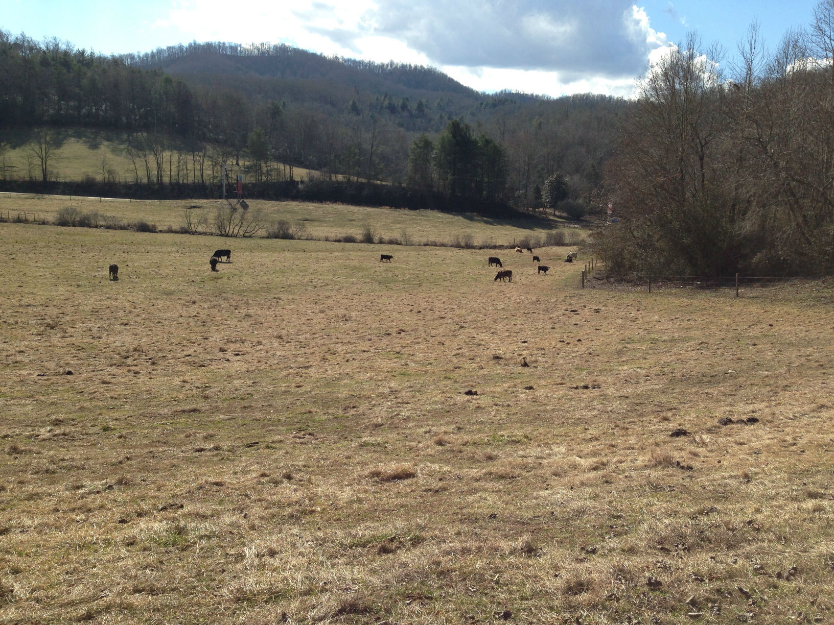
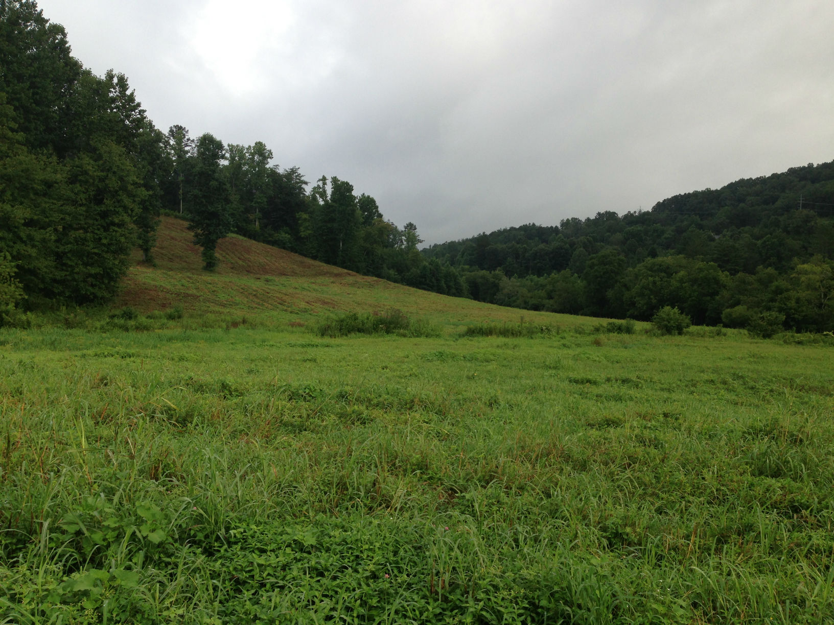
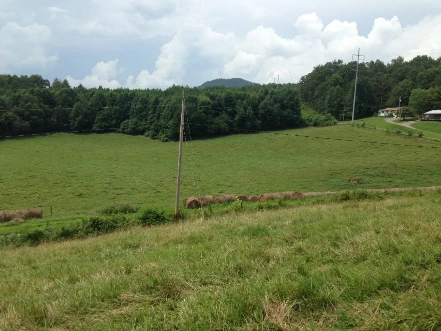
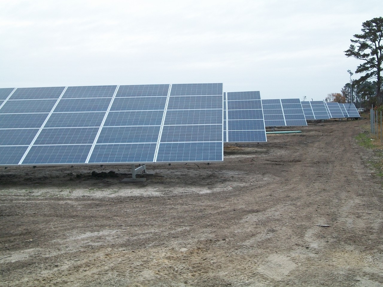
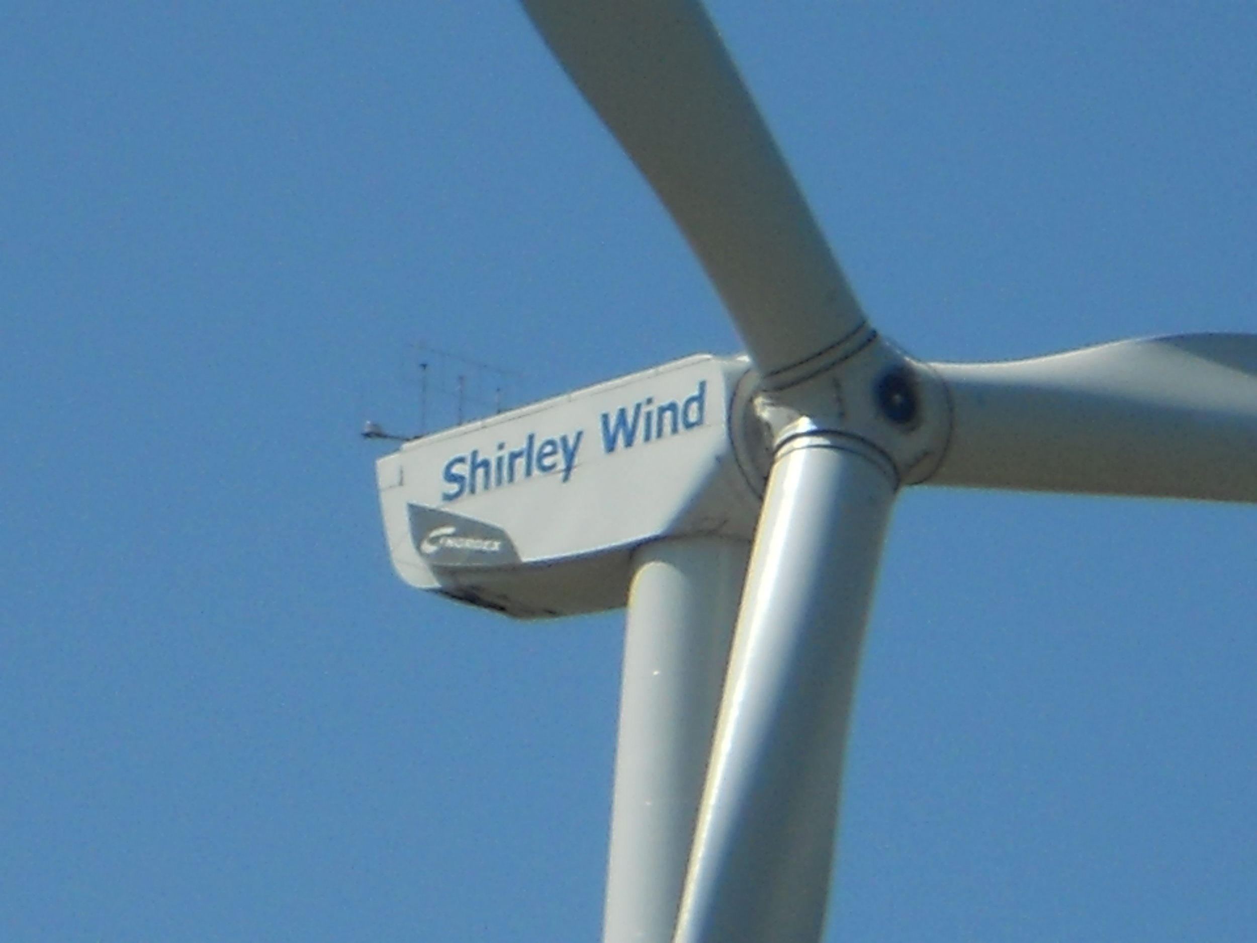
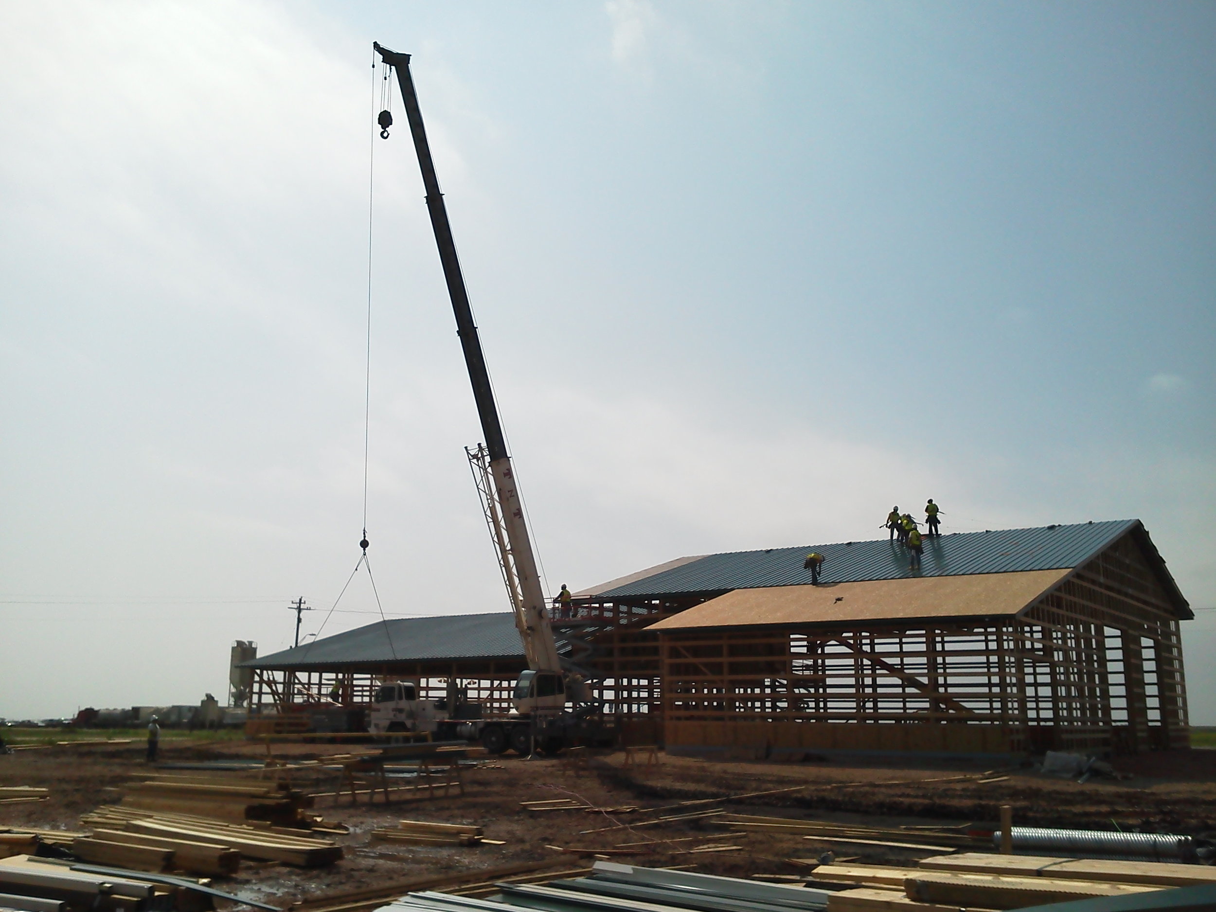
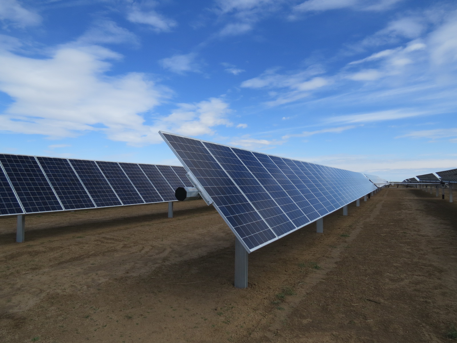
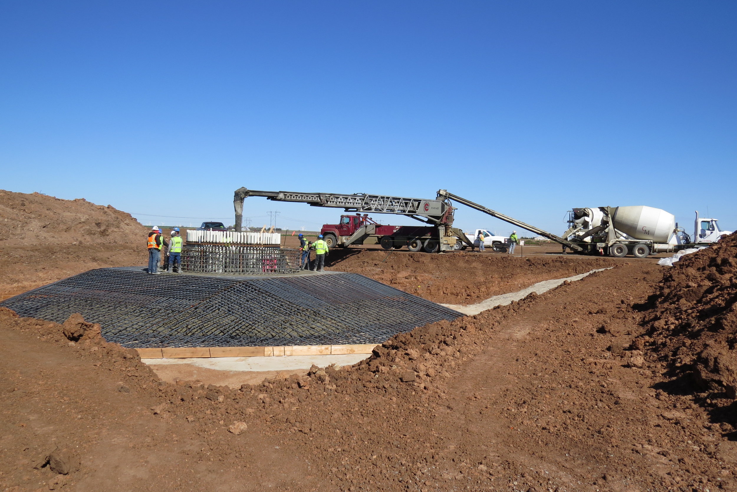
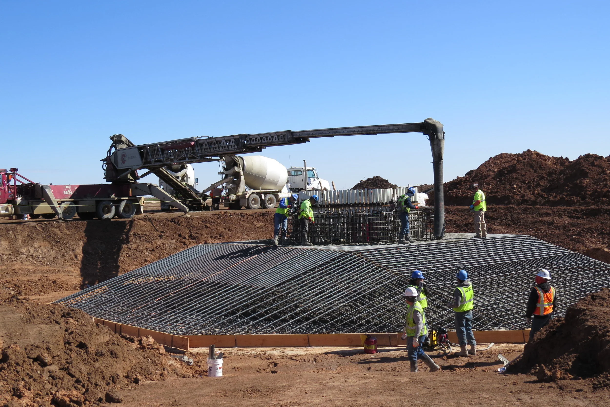
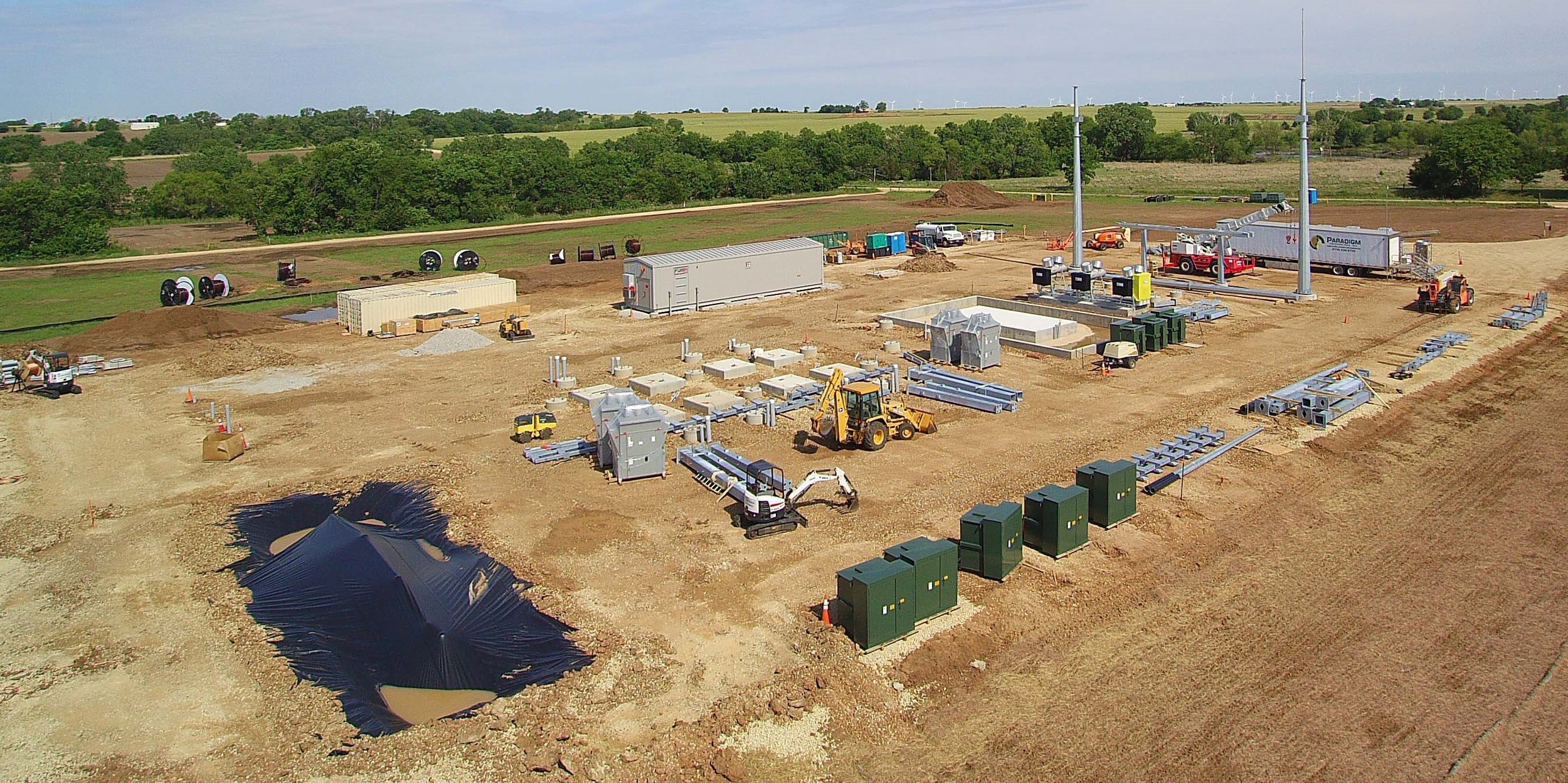
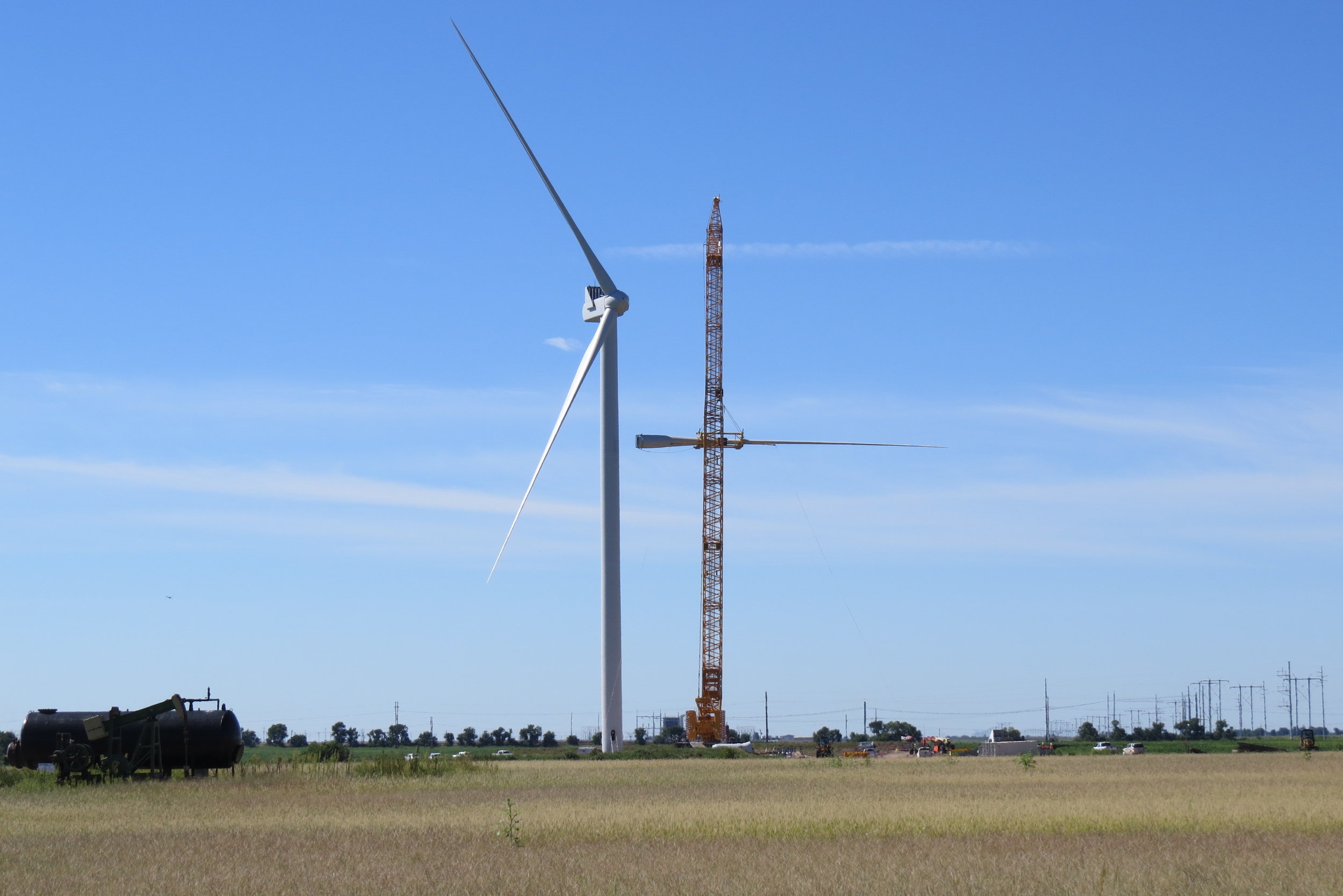
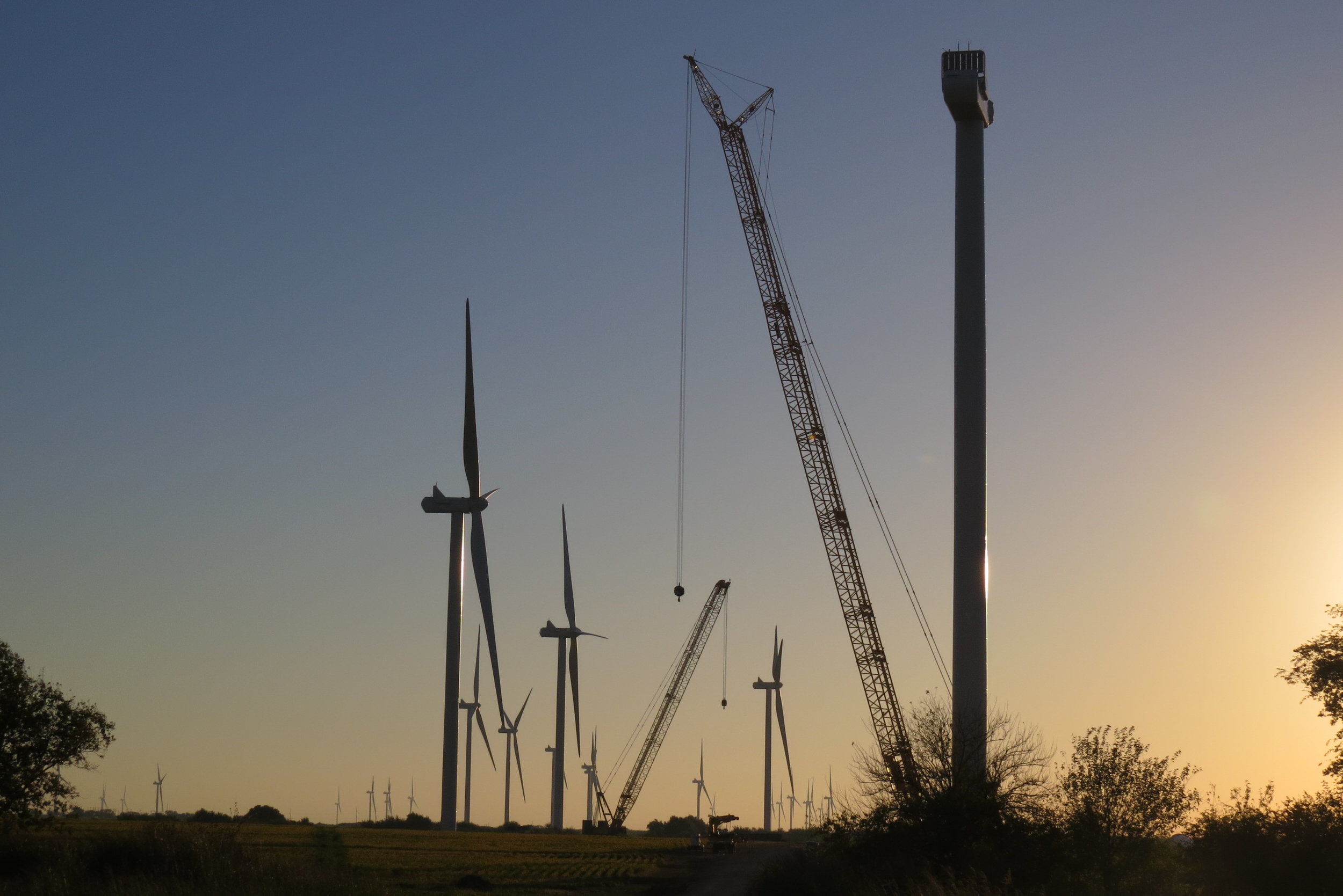
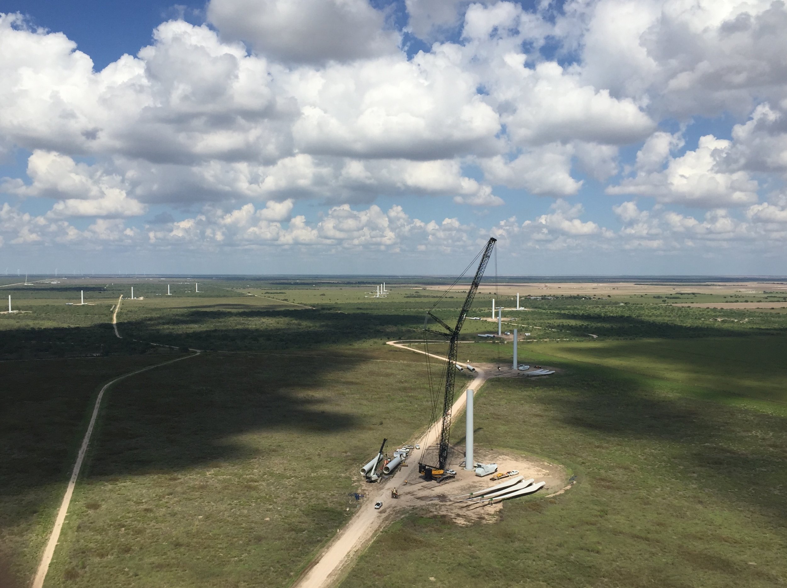
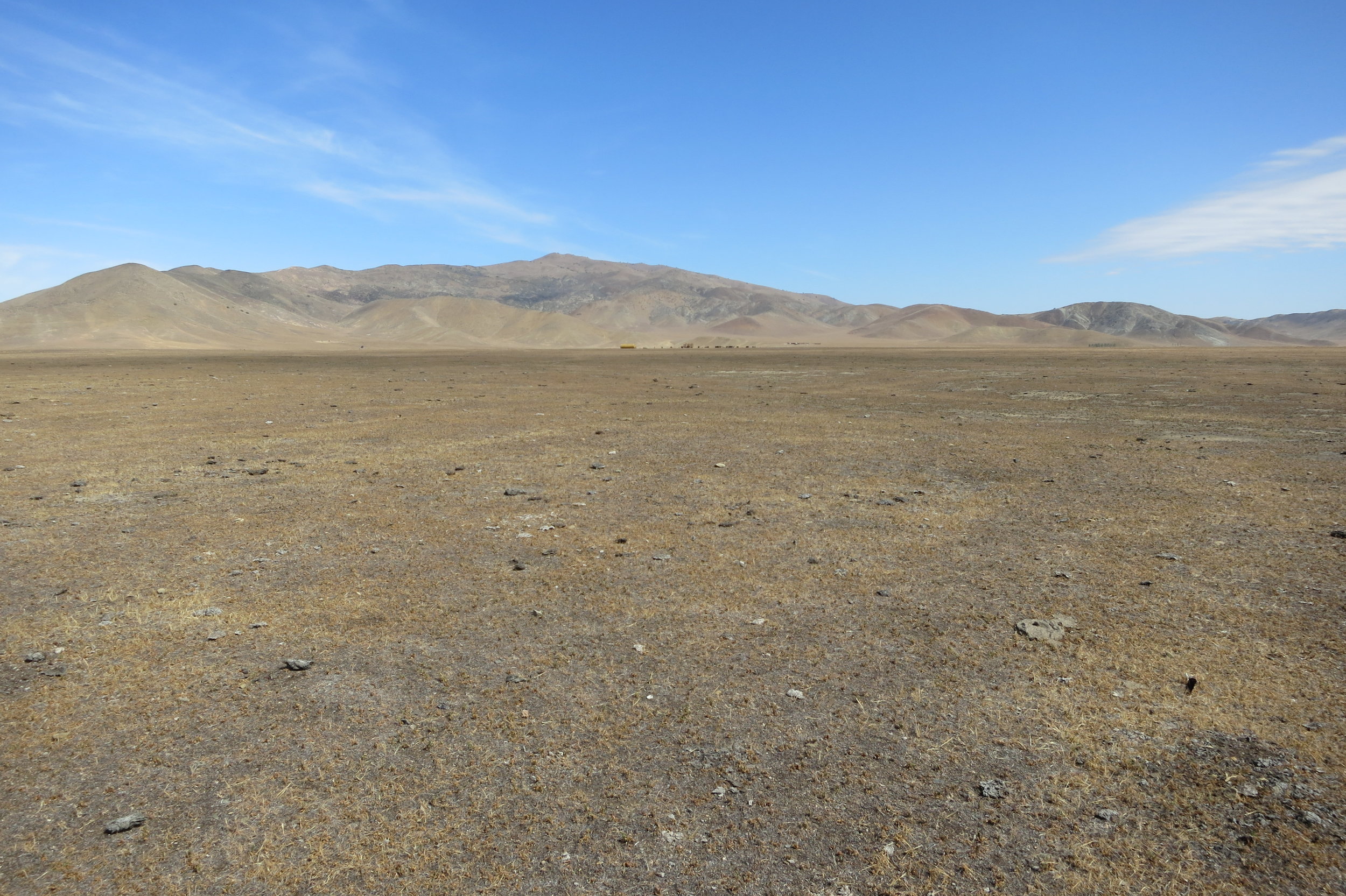
The Panoche Valley Solar Project is a 240 MW Solar Site in the Panoche Valley of eastern San Benito County, California. The development of the project included the designation of 24,185 acres of conservation lands.
The USACE was the lead agency preparing an Environmental Impact Statement (EIS) for the project as a result of a Section 404 Clean Water Act permit for stream crossings associated with the project. The USFWS was a cooperating agency on the EIS due to the potential for impacts to federally protected species.
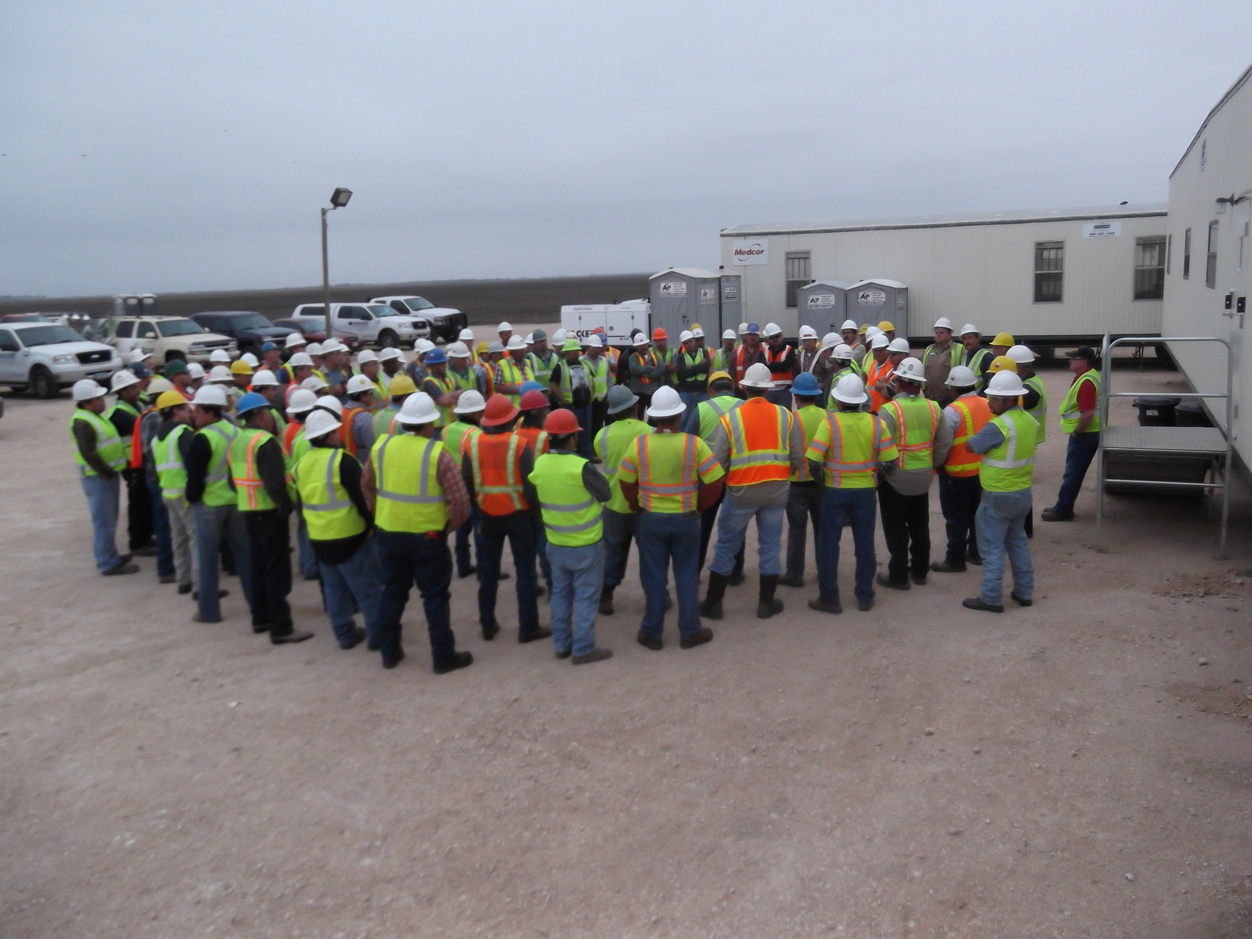
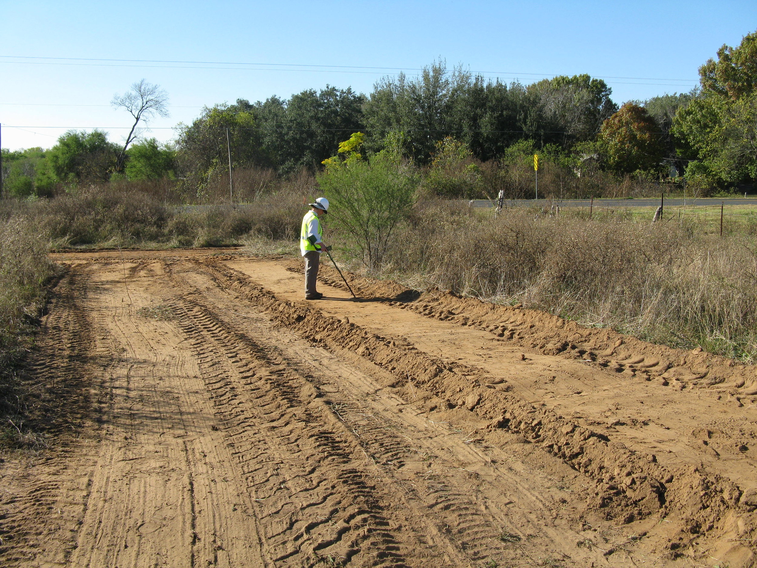
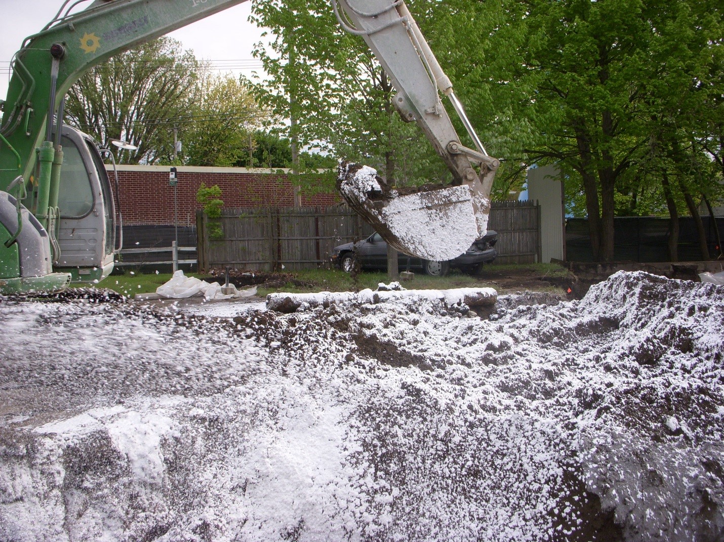
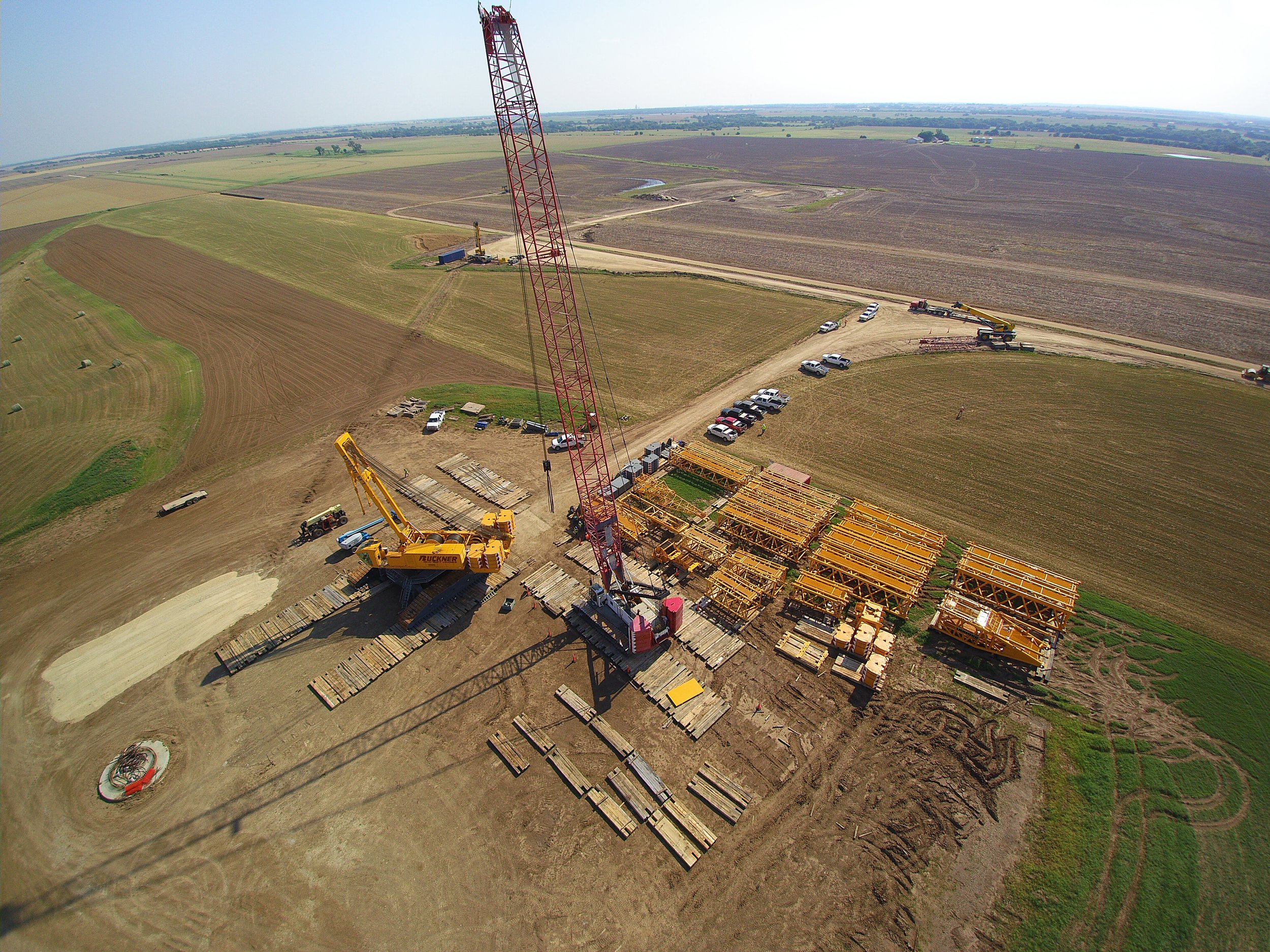
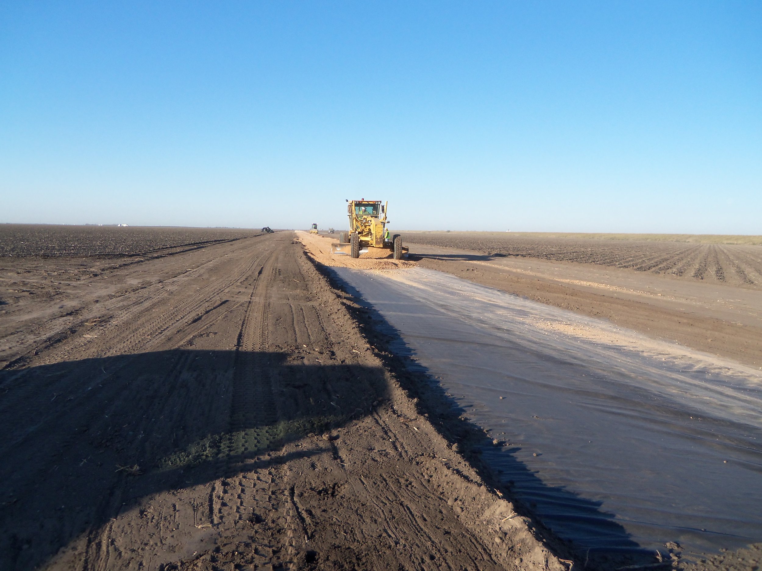
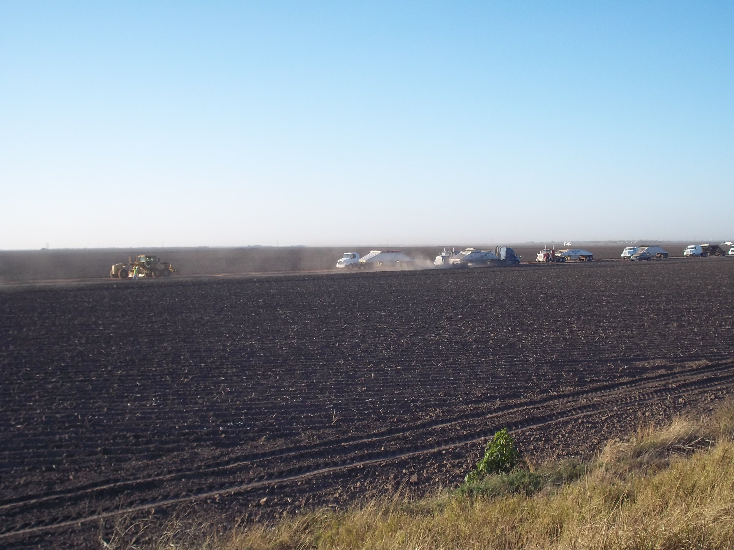
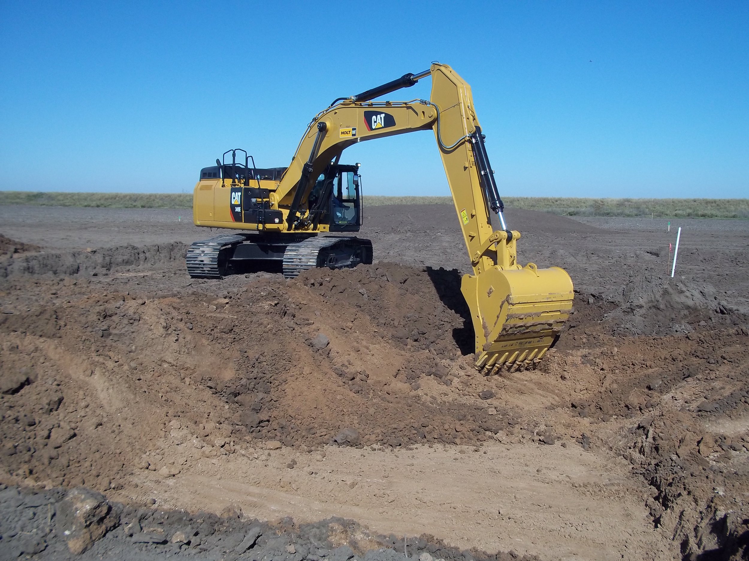
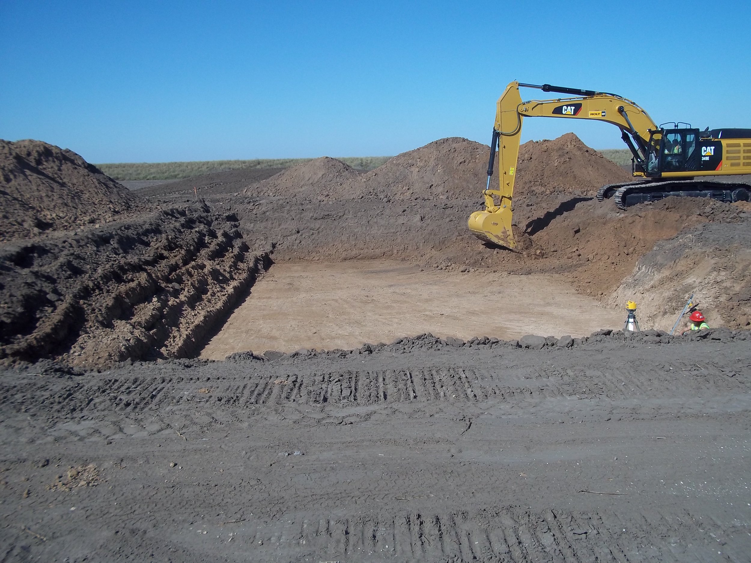
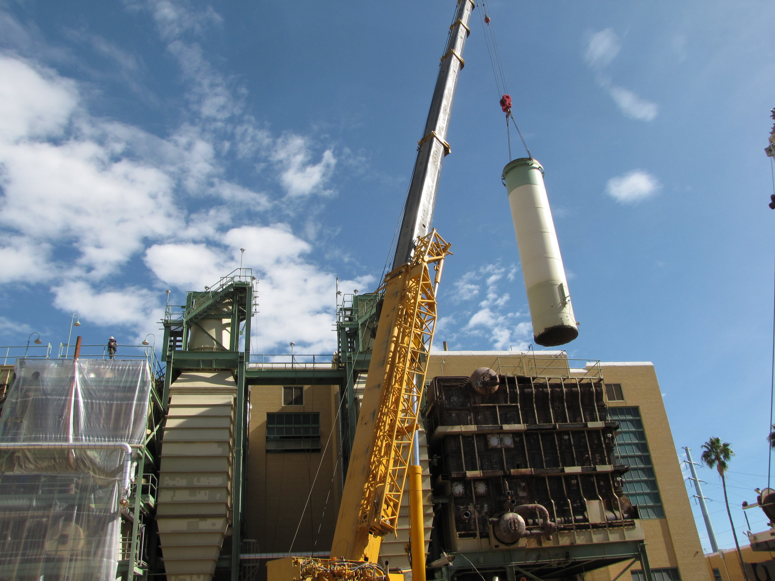
ERP acted as the project developer’s environmental consultant to prepare documentation that formed the basis of the USACE EIS. ERP’s project responsibilities included cultural resource evaluation, recreational and socioeconomic impact analyses; geotechnical assessment, water resource studies; and several biological studies for a number of listed species; in addition to extensive coordination with State (Caltrans, CA EPA, CA FWS) and Federal agencies (US EPA, USFWS). ERP’s involvement in the Panoche Valley Solar Farm Project began in 2012 and continued through the start of construction.
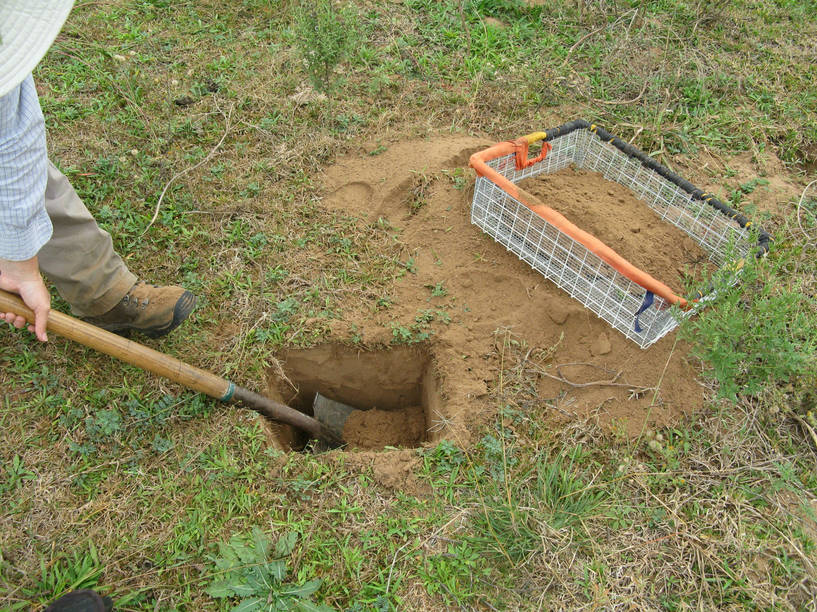
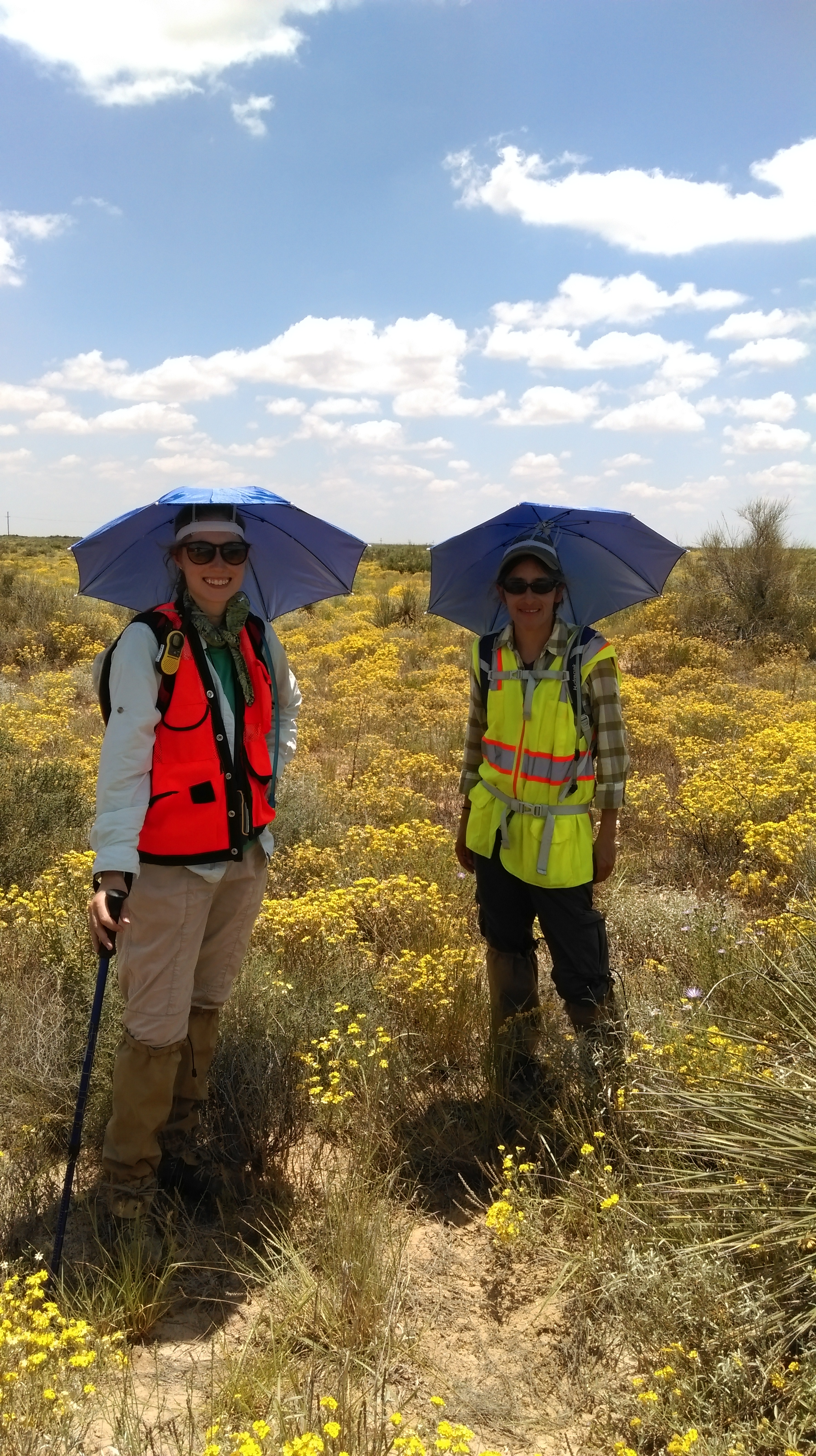
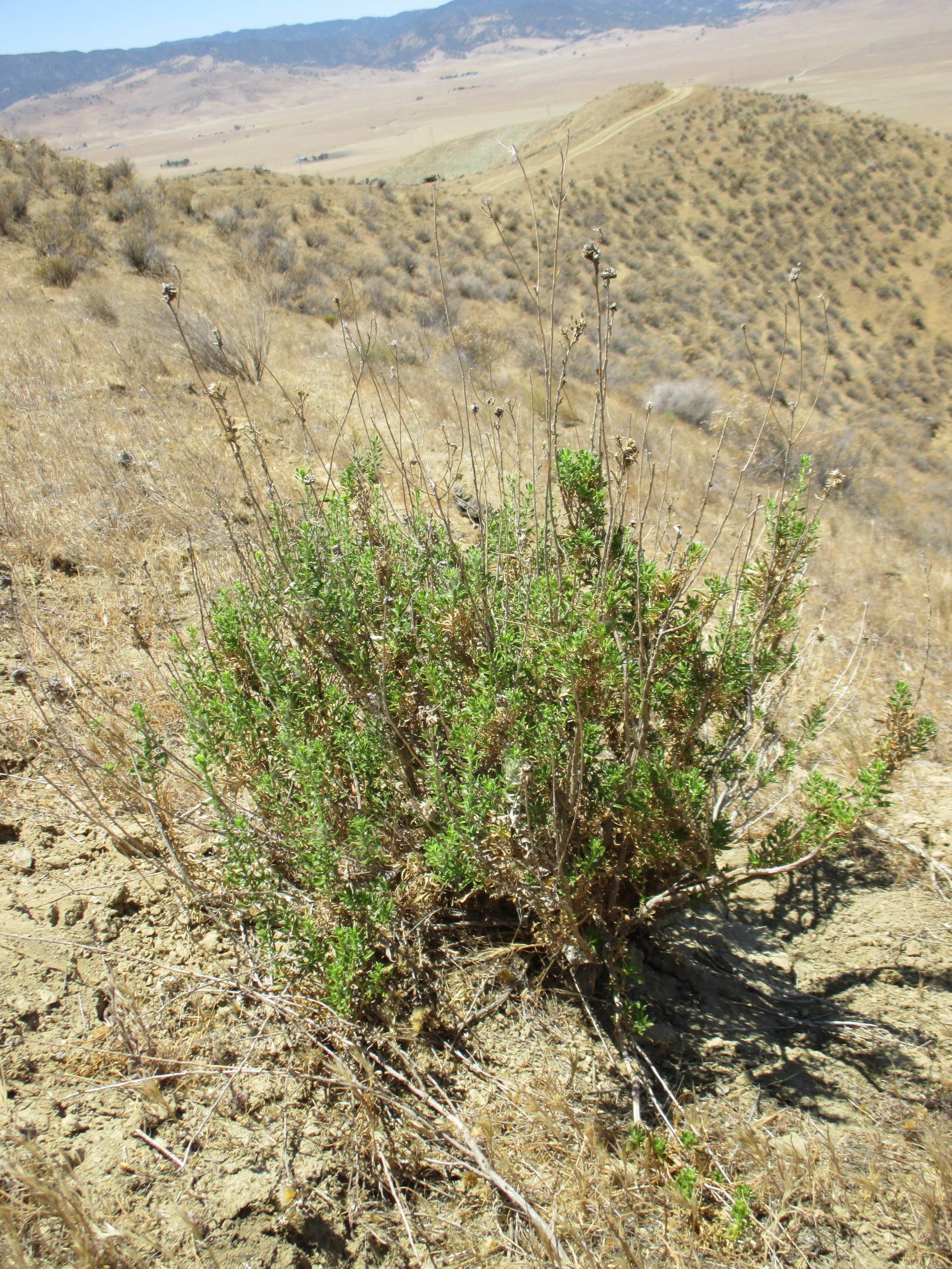
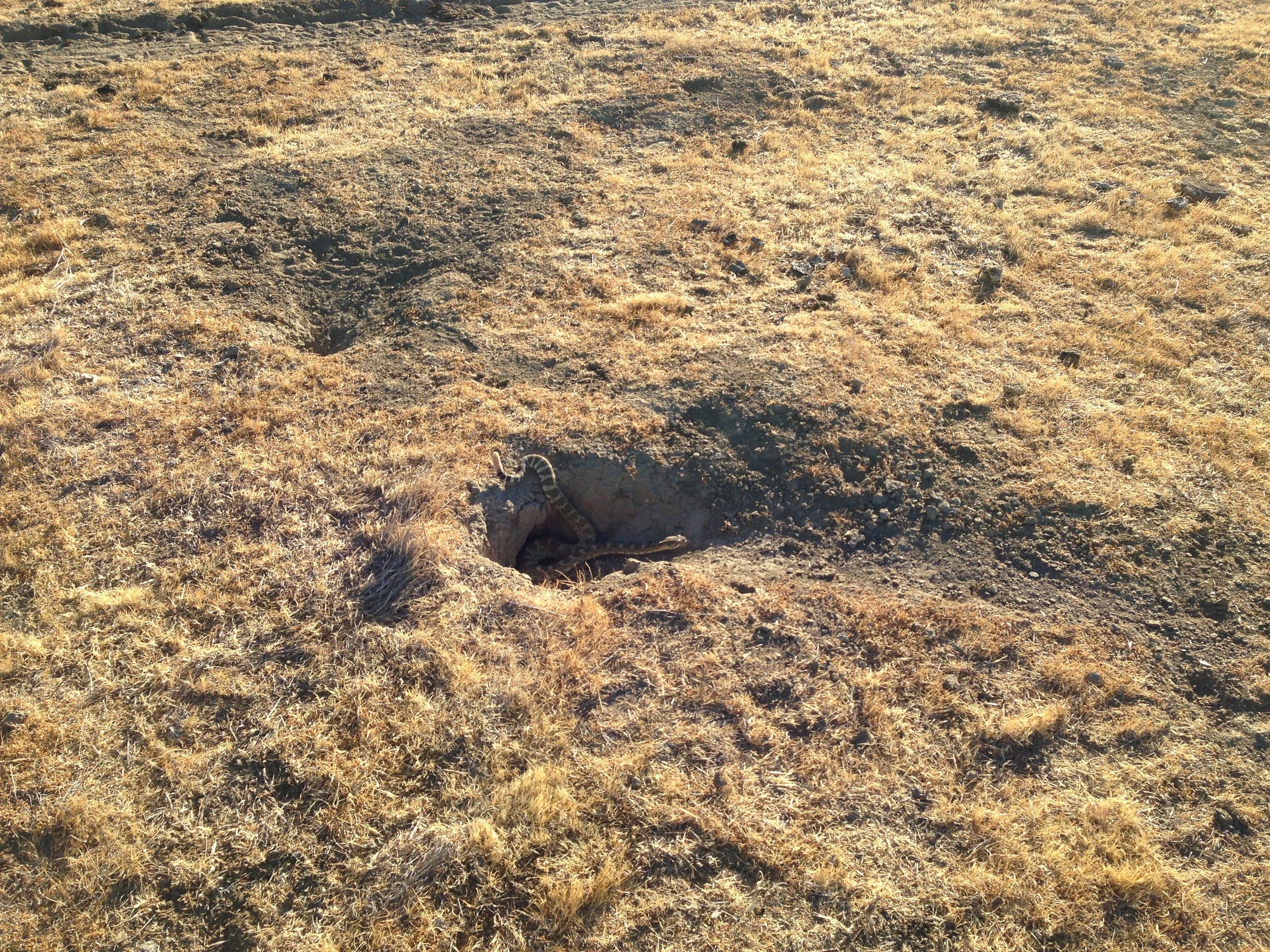
As part of the biological surveys, several federal and state listed animal species were studied, including the Golden Eagle, Giant Kangaroo Rat, Blunt-Nosed Leopard Lizard, San Joaquin Kit Fox, Burrowing Owl, San Joaquin Antelope Squirrel, and various avian species. Botanical surveys were conducted, including federal and state listed plants. A noxious weed survey was conducted to create a Weed Management Plan. Transmission line surveys were also completed to determine the effect of the transmission lines on the local wildlife and state waters. A conservation management plan was created to ensure the conservation lands are managed, monitored, and maintained in perpetuity for the benefit of the listed species.
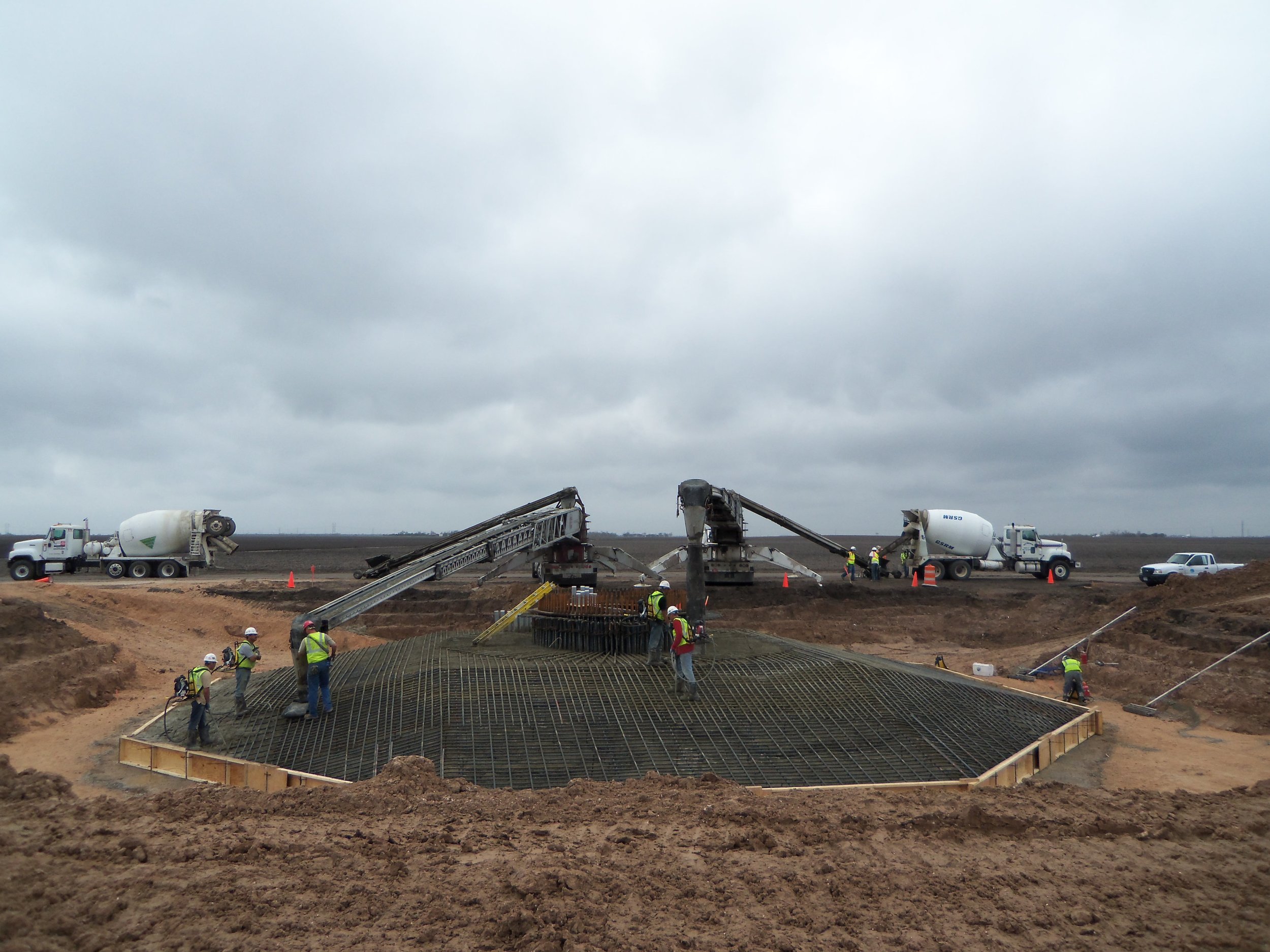
To comply with 401 and 404 regulations, ERP completed a Water Quality Certification application and an Alternatives Analysis for input into the EIS. Also, a flood analysis was conducted via the FLO-2D modeling software, which was used to model the flow depth and velocity of a 100 year, 24-hour storm event.